How to drive the steep road to Col du Haag in the Haut-Rhin department
Col du Haag is a mountain pass at an elevation of 1.233m (4,045ft) above sea level, located in Grand Est region of France.
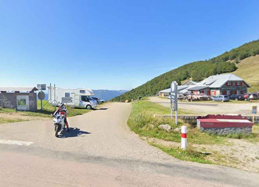
Where is Col du Haag?
The pass is located west of Guebwiller, in the Haut-Rhin department, in the north-eastern part of the country.
Is the road to Col du Haag paved?
The road to the summit was a forestry track with some unpaved sections. Due to its appearance in the 2026 Tour de France, the route was completely paved. It features narrow parts, many turns and very steep sections.
How steep is Col du Haag?
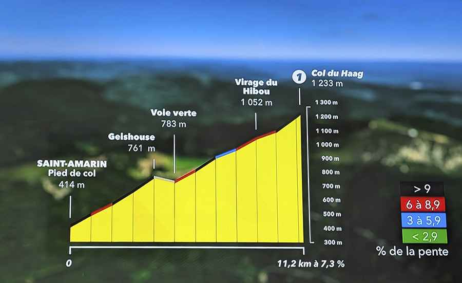
This mountain pass had never been featured before in the history of the race. It remained unprecedented until 2026, when it was included in stage 14 between Mulhouse and Le Markstein Fellering. Steep at the beginning, gentle in the middle, and brutal at the finish. It is a very irregular climb, featuring three sections with severe gradients. The first one appears after two kilometers. Then comes a gentler stretch, followed by another demanding but slightly easier section. The final kilometer is extremely steep, easily hitting gradients of 12% to 13% in some spots.
How long is the road to Col du Haag?
Starting from Saint-Amarin, the road to the summit is 11.2km long. Over this distance, the average gradient is 7.3%.