How to drive the balcony road to Col de Saint-Pancrace in Peille?
Col de Saint-Pancrace is a mountain pass at an elevation of 677m (2,221ft) above sea level, located in the Provence-Alpes-Côte d'Azur region of France. It is one of the balcony roads of the country.
| Road facts: Col de Saint-Pancrace (D53) | |
|---|---|
| Location | Alpes-Maritimes, Provence-Alpes-Côte d'Azur, France |
| Elevation | 677 m (2,221 ft) |
| Length | 16.5 km (10.2 miles) |
| Max Gradient | 13.8% |
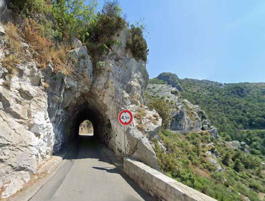
| Layout | 17 hairpin turns & 3 unlit tunnels |
| Surface | Fully paved asphalt |
Where is Col de Saint-Pancrace?
The pass is located in the Alpes-Maritimes department, in the southeastern part of the country.
Is the road to Col de Saint-Pancrace paved?
The road to the summit is totally paved. It’s called D53. Due to its situation in the Cote d’Azur, the road is very busy in summers. With its narrowness, the drive can be unnerving when busy.
How challenging is the road to Col de Saint-Pancrace?
It’s a very challenging drive, with narrow parts, countless curves (17 hairpin turns), three very narrow unlit tunnels, and high risk of rock slides. Due to its challenging conditions, the road is strictly restricted to vehicles under 3.8 meters in height.
How long is the road to Col de Saint-Pancrace?
The road through the pass is 16.5 km long, running north-south from the D21 road in Peille to La Turbie, a city bordering the Principality of Monaco.
How steep is the road to Col de Saint-Pancrace?
Part of Paris-Nice race, the road features very steep sections, hitting a 13.8% of maximum gradient.