How to drive the steep paved road to Mont Colombis in the Hautes-Alpes?
Mont Colombis is a high mountain peak at an elevation of 1,734 meters (5,686 ft) above sea level, located in the Hautes-Alpes department of France.
Where is Mont Colombis?
The peak is situated in the southeastern part of France, within the Provence-Alpes-Côte d'Azur region. The road climbs up to a communication tower at the summit. This is a dead-end road, meaning you must descend by the same route you climbed. The area offers a 360-degree view of the surrounding Alpine massifs.
Is the road to Mont Colombis paved?
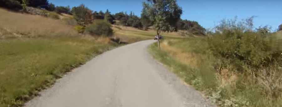
The road to the summit is fully paved, but the asphalt is often narrow and in poor condition in several sections. It is scarcely wide enough for two cars to pass at the same time. There are almost no safety barriers, and the drops are sheer. If you meet oncoming traffic, one driver will often have to reverse on a steep incline until a wider spot is found. The edges of the pavement are frequently broken, so you must stay in the center of the lane whenever possible.
How long is the road to Mont Colombis?
The road to the summit is 12.3 km (7.6 miles) long starting from Remollon. While the average gradient is around 9%, you will face several sustained "walls" where the incline stays above 10% for long stretches.
Is the road to Mont Colombis open in winter?
The road is typically closed or impassable during the winter months due to snow and ice. Even in late spring, the shaded curves can remain slippery.
Pic&video: Endorfinjunkie