Pic de Figuéma: Can you drive the 3.1 km unpaved road from Col de la Llose?
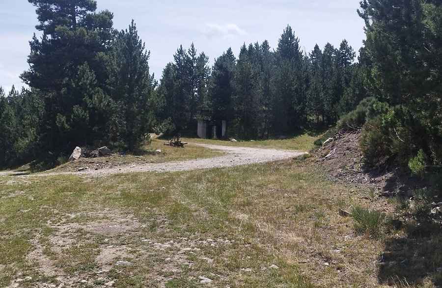
Pic de Figuéma, also known as Pic de Figamà, is a high mountain peak at an elevation of 2,021m (6,630ft) in the Pyrénées-Orientales department of France. Located east of Puig de la Tossa, the access is a 3.1 km unpaved track that starts from the Col de la Llose. It is a narrow service road leading to an antenna at the summit, where the rocky surface and steep drops are the primary hazards.
| Road facts: Pic de Figuéma | |
|---|---|
| Location | Pyrénées-Orientales, France |
| Elevation | 2,021 m (6,630 ft) |
| Length | 3.1 km (1.92 miles) |
| Average Gradient | 5.38% |
| Surface | Unpaved / Rocky |
How demanding is the 3.1 km climb to Pic de Figuéma?
The road gains 167 meters of elevation over a distance of 3.1 km. While the average gradient is 5.38%, the track is technical due to its narrow roadbed and the presence of loose stones. A 4x4 vehicle is necessary to maintain traction on the steeper sections and to clear the ruts caused by erosion. The road is officially closed to private motorized vehicles, as it serves as a maintenance access for the telecommunications antenna at the top.
What is the road surface like on the Pic de Figuéma track?
The surface is entirely unpaved and consists of crushed rock and dirt. In several sectors, the track is heavily rutted, and mountain runoff frequently exposes large stones that can hit the underbody of low-clearance vehicles. There are no guardrails on the narrowest bends, and the edge of the road consists of unstable gravel. If you lose focus on these hairpins, the vehicle can easily slip toward the unprotected drops of the Pyrenean slopes.
Is the road to Pic de Figuéma open during winter?
No. At 2,021 meters, heavy snow buries the 3.1 km track from late autumn until June. The 5.38% ramps become a slick trap of ice and mud during the melt, making the route impassable even for heavy 4x4s. Sudden summer thunderstorms also pose a risk, as they can wash away sections of the roadbed in minutes, creating deep gullies that block the path back to Col de la Llose.
What mechanical risks should you consider on this route?
The sharp rocks on the 3.1 km track are a constant threat to tire sidewalls. The sustained climb at high altitude puts extra load on the cooling system, and you must check for radiator leaks before starting. On the descent, rely on engine braking to control the car; using the brakes exclusively on the 5.38% pitch will lead to overheating. There is no mobile coverage in most sections and no recovery services available; if you get a puncture or a mechanical failure, you will be stranded.
Pic: Christian Boisseaux