How to drive the curvy road to Col de la Taillade in the Pyrenees
Col de la Taillade is a mountain pass at an elevation of 1,407m (4,616ft) above sea level, located in the Pyrénées-Atlantiques department of France.
Where is Col de la Taillade?
The pass is situated in the Nouvelle-Aquitaine region, in the southwestern part of France near the Spanish border. It lies within the French Pyrenees. Near the summit, the road provides access to the Espace Nordique d'Issarbe, a well-known cross-country ski resort.
| Road facts: Col de la Taillade | |
|---|---|
| Elevation | 1,407 m (4,616 ft) |
| Road Name | D632 |
| Distance | 22.7 km (14.1 miles) |
| Max Gradient | 16.3% |
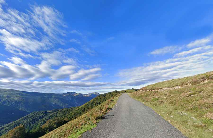
Is Col de la Taillade paved?
The road through the pass, the D632, is fully paved, although the surface quality is variable. The climb is classified as HC (Hors Catégorie) for cyclists, featuring an average gradient of 8.10% and reaching maximum pitches of 16.3%. The route is characterized by numerous hairpin bends and narrow sections that require cautious driving.
How long is Col de la Taillade?
The total distance of the route is 22.7 km (14.1 miles). It runs in a north-south direction, starting from Lanne-en-Barétous and connecting with the D113 road, which leads toward the higher Col de la Pierre Saint-Martin.