Road to Le Hohneck: Driving the 8.14% Gradient in the Vosges
Reaching an elevation of 1,362m (4,468ft) above sea level, Le Hohneck is a prominent mountain peak located in the Grand Est region of France. Situated on the boundary between the Vosges and Haut-Rhin departments, it represents one of the highest accessible points within the Ballons des Vosges Regional Nature Park.
| Road facts: Le Hohneck | |
|---|---|
| Location | Vosges / Haut-Rhin, France |
| Elevation Gain | 114 m |
| Length | 1.4 km (0.86 miles) |
| Average Gradient | 8.14% |
| Surface | Paved (Poor Condition) |
How long is the road to the summit of Le Hohneck?
The ascent to the peak is a short but intense spur of 1.4 km (0.86 miles), starting from the intersection with the D430 Road, widely known as the Route des Crêtes. Over this distance, the road gains 114 meters in elevation, maintaining an average gradient of 8.14%. While the road is fully paved, it is frequently in poor condition due to severe frost-thaw cycles at this altitude, featuring cracks and potholes that require cautious driving.
How many hairpin turns are on the road to Le Hohneck?
The technical layout of the climb to Le Hohneck includes 7 hairpin turns and several narrow sections where passing oncoming traffic can be difficult. The road is designed for low-speed transit, leading to a large parking area and the Auberge du Sommet du Hohneck at the top. The peak acts as a geographical divide between Alsace and Lorraine, providing visibility towards the Black Forest and the Swiss Alps on clear days, though the lack of safety barriers on the tightest switchbacks requires constant attention to the pavement edges.
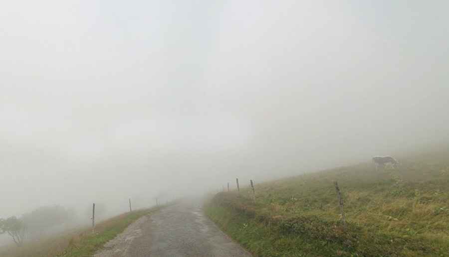
What are the driving hazards on the road to Le Hohneck?
The primary driving hazard at Le Hohneck is dense mountain fog and sudden wind gusts, which are extremely common in the Vosges range. The road surface is often slippery when damp, and the 8.14% gradient makes descending on worn asphalt a risk for brake traction. During the winter season, the access road is often impassable due to heavy snow and ice, as it is one of the most exposed points in the region. Drivers must also be alert for heavy pedestrian and cyclist traffic, as the summit is a major hub for the La Bresse Hohneck ski resort area.
Is the road to Le Hohneck open during the winter?
Access to the summit of Le Hohneck is strictly dependent on seasonal maintenance. While the Route des Crêtes is a major thoroughfare, the final 1.4 km spur to the Auberge is often the first to be closed during snowfall. There are no emergency services located at the peak itself, and the high-altitude environment means that temperatures can drop rapidly, leading to black ice formation on the 7 switchbacks. It is recommended to check the mechanical status of the vehicle’s cooling and braking systems before attempting the ascent, especially during the volatile shoulder seasons of spring and autumn.