A Scenic Drive Through Col de Clavel: Gateway to Montagne de Lachens
Col de Clavel is a mountain pass at an elevation of 1.076m (3,530ft) above sea level, located in the Provence-Alpes-Côte d'Azur region of France.
Where is Col de Clavel?
The pass is located in the Var department, in the extreme southeast corner of the country, within the Préalpes d'Azur Regional Natural Park.
Why is Col de Clavel famous?
The pass connects the Haute Dracénie with the Artuby Valley, on the far eastern part of the Canjuers plateau. It is the only road access to Montagne de Lachens, the highest peak in Var, which rises to 1.714m (5,623ft) above sea level.
Is Col de Clavel paved?
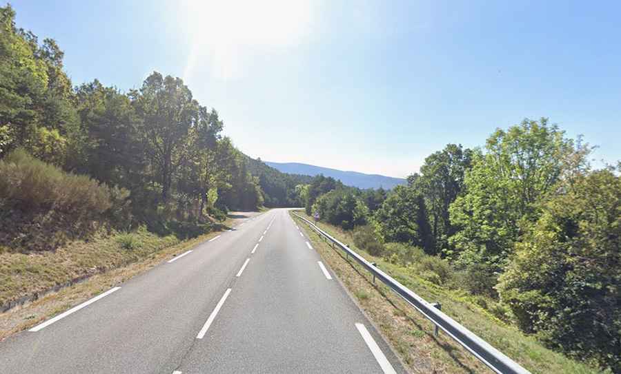
The road through the pass is fully paved. It’s called the D21 road. The road condition is excellent, with nice curves, good pavement, and moderate traffic. No facilities on the col. It has steep sections, hitting a 7.5% maximum gradient through some of the ramps.
How long is Col de Clavel?
The pass is 16.8 km (10.43 miles) long, running south-north from Comps-sur-Artuby to Le Logis du Pin.