How to drive the scenic D5 road in Provence?
D5 is a very challenging mountain road, located in the Alpes-Maritimes department of France. It climbs up many mountain passes and tops out at 1,439 m (4,721 ft) above sea level.
Where is the D5 road?
The road is located in the Provence-Alpes-Côte d'Azur region, in the southeastern part of the country, near the Parc Naturel Régional des Préalpes d'Azur.
Is D5 road paved?
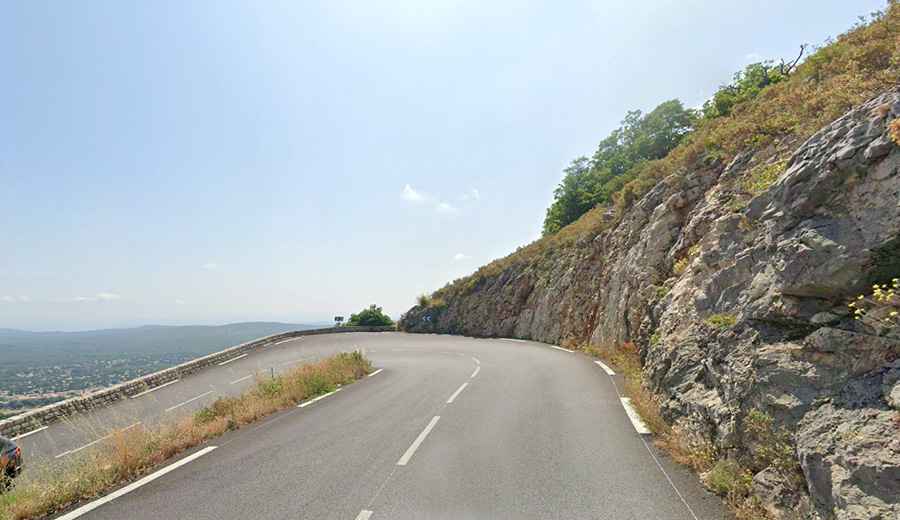
The road is fully paved yet narrow in parts, with a few hairpins. It is virtually a single track and pretty bumpy. It’s one of the nicer drives in this area, which features many small to medium-sized passes. Apart from the scenic beauty of this area, the road is also characterized by very low traffic.
How steep is D5 road?
The road has steep parts, with a maximum gradient of 8.6%, providing a rewarding drive for enthusiasts of mountain passes. It climbs up to Col de Bleine (a mountain pass at an elevation of 1,439 m-4,721 ft above sea level), Col de Castellaras (a mountain pass at an elevation of 1,248 m-4,094 ft above sea level), and Col du Ferrier (a mountain pass at an elevation of 1,047 m-3,435 ft above sea level).
How long is D5 road?
The road is 50.2 km (31.19 miles) long, running north-south from Saint-Auban, near the scenic Clue de Saint Auban, to Saint-Cézaire-sur-Siagne.