Is the road to Col du Ferrier in Provence difficult to drive?
The Col du Ferrier is a classic limestone gateway into the Prealps of the Côte d'Azur. At 1,041m (3,415ft) above sea level, this pass in the Alpes-Maritimes department isn't the highest in France, but it’s one of the most technical. The road is a twisted ribbon of old asphalt that climbs quickly away from the coast, leaving the palm trees behind for a world of grey rock and scrubland. If you're looking for a smooth, wide highway, the D5 is going to be a rude awakening.
| Road facts: Col du Ferrier | |
|---|---|
| Location | Alpes-Maritimes, Provence (France) |
| Elevation | 1,041m (3,415ft) |
| Road Name | D5 Road |
| Max Gradient | 8.6% |
| Length | 38 km (23.6 miles) |
How long is the road to Col du Ferrier?
The full route over the pass stretches for about 38 km (23.6 miles) along the scenic D5 road, connecting the village of Saint-Auban to the north with Saint-Vallier-de-Thiey to the south. The southern climb from Saint-Vallier is the most famous stretch, featuring a relentless series of hairpins that carve through the limestone cliffs. With a maximum gradient of 8.6%, your engine will be working hard, and you’ll find yourself shifting gears constantly to maintain momentum through the tight bends.
Is the road to Col du Ferrier paved?
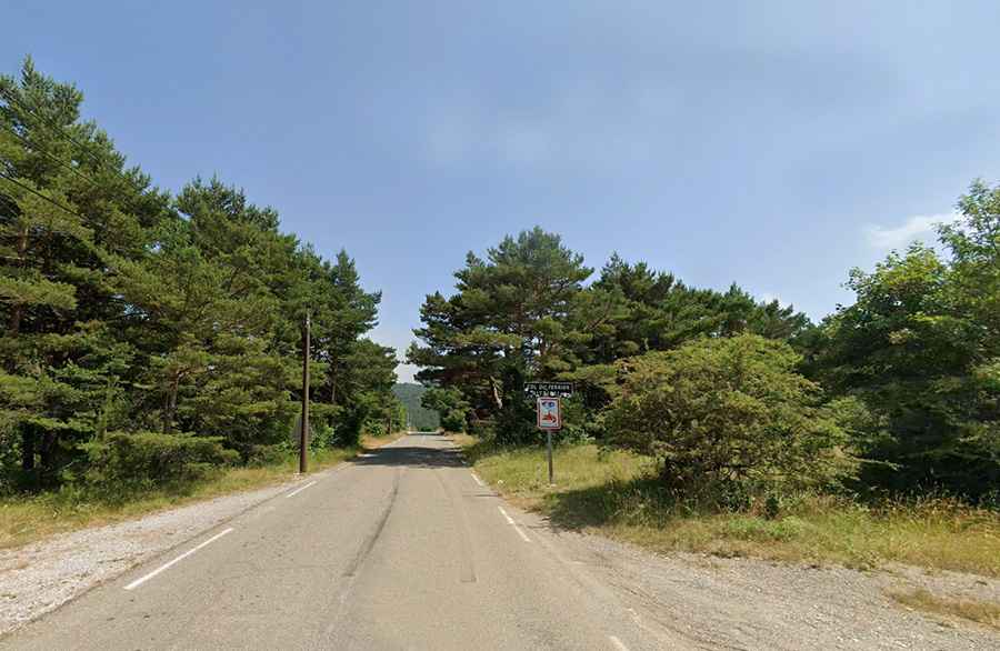
Yes, the road is fully asphalted, but "paved" doesn't mean "easy." The surface of the D5 is notoriously rough and abrasive, designed to withstand the extreme heat of the Provence summer and the freezing winters of the mountains. In many sections, the road is very narrow—barely enough for two cars to pass. There is no shoulder, just a vertical rock wall on one side and a steep drop-off on the other. If you meet a local delivery truck or a group of cyclists on a blind corner, you’ll need to have your reflexes ready.
What are the hazards when driving to Col du Ferrier?
The biggest danger on the Col du Ferrier is the combination of sun-blindness and narrow lanes. The white limestone reflects the Mediterranean sun, making it hard to see the shadows where the road suddenly tightens. Also, because this is a secondary route, you might encounter gravel or small rocks on the asphalt that have fallen from the cliffs above. During the winter, the pass can become a skating rink of black ice, especially in the shaded sections that never see the sun. It’s a road that demands your full attention; one slip and you’re hitting a stone wall.
Is the drive to Col du Ferrier worth it?
For those who love technical driving, the Ferrier is a dream. Once you reach the summit at 1,041 meters, the landscape opens up into the Parc Naturel Régional des Préalpes d'Azur, offering views that stretch toward the high Alps. It’s a quiet route compared to the main roads near Grasse, but that silence means help is far away if you break down. Make sure your tires have good tread and your cooling system is up to the task of a steep summer climb. In Provence, the mountain roads don't forgive those who underestimate them.
Driving the D5 over the Col du Ferrier is a reminder that the best routes are often the ones that make you work for it. Respect the tight hairpins, watch for rockfall, and focus on the road. The French Prealps are beautiful, but they are built for drivers who know how to handle a narrow lane and a steep grade. Stay sharp and enjoy the climb.