Is the road to Le Haut Montet in Provence too narrow for cars?
Le Haut Montet is a prominent mountain peak at an elevation of 1,337m (4,386ft) above sea level, located in the Alpes-Maritimes department of France. Situated within the Regional Natural Park of the Pre-Alps d'Azur, the summit is famous for its massive civil aviation radar, known locally as the "White Ball," which dominates the skyline between Gourdon and Caussols.
The drive offers a stark, lunar landscape and is highly sought after for its 360-degree panoramic views. On a clear day, the vista stretches from the glittering Mediterranean Sea to the high, snow-capped peaks of the Southern Alps. However, the road's technical nature and access restrictions make it a route that requires careful planning.
| Road facts: Le Haut Montet | |
|---|---|
| Elevation | 1,337m (4,386ft) |
| Length | 2.5 km (1.55 miles) |
| Elevation Gain | 220 m |
| Average Gradient | 8.80% |
| Surface | Concrete / Paved |
How long is the road to Le Haut Montet?
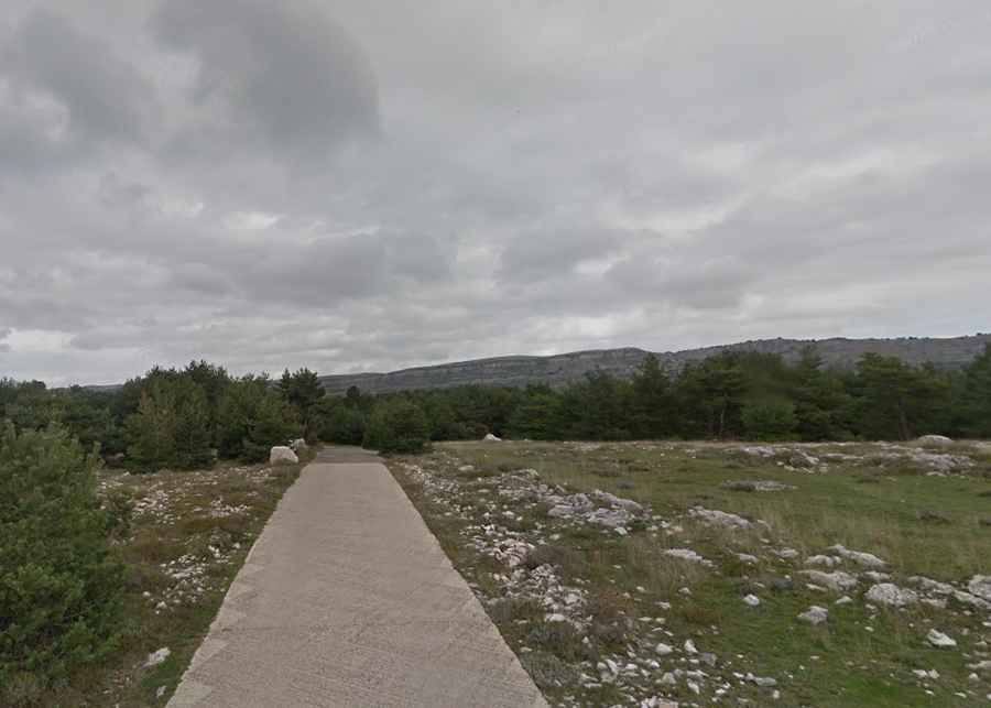
The ascent begins at the intersection with the Chemin des Claps. The road to the summit of Le Haut Montet is 2.5 km (1.55 miles) long. Despite its short distance, the climb is relentless, with an average gradient of 8.80%. The road is paved with concrete to ensure traction for the service vehicles that maintain the radar station, but it remains extremely narrow with very few places to pass oncoming traffic.
Can you drive to the top of Le Haut Montet?
Access to the very top of Le Haut Montet is restricted. While the road is fully paved, the final section leading directly to the Radar du Haut-Montet is closed to private motorized vehicles. Drivers must park at a gravel parking lot located near a gate shortly before the summit. From there, the last few hundred meters must be completed on foot. The road is exceptionally steep in this final stretch, and the wind at the top can be fierce due to the exposed, rocky terrain.
Why is the drive to Le Haut Montet worth it?
The main reason to tackle the road to Le Haut Montet is the unparalleled view from the "White Ball." The peak sits on a high plateau that offers a unique perspective over the Provence-Alpes-Côte d'Azur region. The contrast between the bare, rocky ground and the panoramic views of the French Riviera makes it a favorite spot for photographers and mountain enthusiasts. It is a scenic detour that perfectly captures the rugged beauty of the Alpes-Maritimes.