How to drive the unpaved road to Crete de Douce in the Alps
Crête de Douce is a high mountain peak at an elevation of 2.029m (6,656ft) above sea level, located in the Savoie department of France.
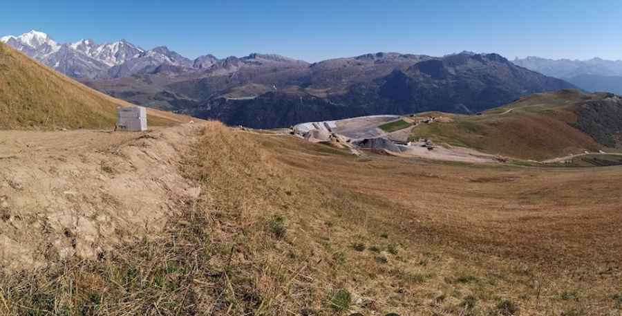
Where is Crête de Douce?
The peak is located in the Auvergne-Rhône-Alpes region, in the south-eastern part of the country.
Is the road to Crête de Douce unpaved?
The road to the summit is totally unpaved. It's a demanding chairlift service road with several steep sections and 8 hairpin turns.
How long is the road to Crête de Douce?
Starting from the paved D218B road, the road to the summit is 4.9 km (3.04 miles) long. Over this distance, the elevation gain is 568 m. The average gradient is 11.59%.
Is the road to Crête de Douce open year-round?
Set high in the Alps mountain range, the road is usually impassable in winters.
Pic: Richard