The brutal climb to Artzamendi, the mountain of hell in the Basque Country
Mont Artzamendi is a mountain peak at an elevation of 916m (3,005ft) above sea level, located in the Pyrénées-Atlantiques department in the Nouvelle-Aquitaine region of France.
Is the road to Artzamendi paved?
Situated in the Pyrenees mountain range near the Spanish border, the road to the summit, also known as Sommet de l'Artzamendi or simply Artzamendi, is paved but extremely narrow and steep, with sections reaching up to 17.2%. It's not recommended for those unfamiliar with reversing. Due to its steepness, exercise caution on the descent and ensure your brakes are in good condition.
How long is the road to Mont Artzamendi?
Starting from Col des Veaux, the ascent to the summit covers a distance of 4.1km (2.54 miles). Over this stretch, there's an elevation gain of 412 m, with an average gradient of 10.04%. It's advisable to avoid days with heavy traffic due to the road's narrowness.
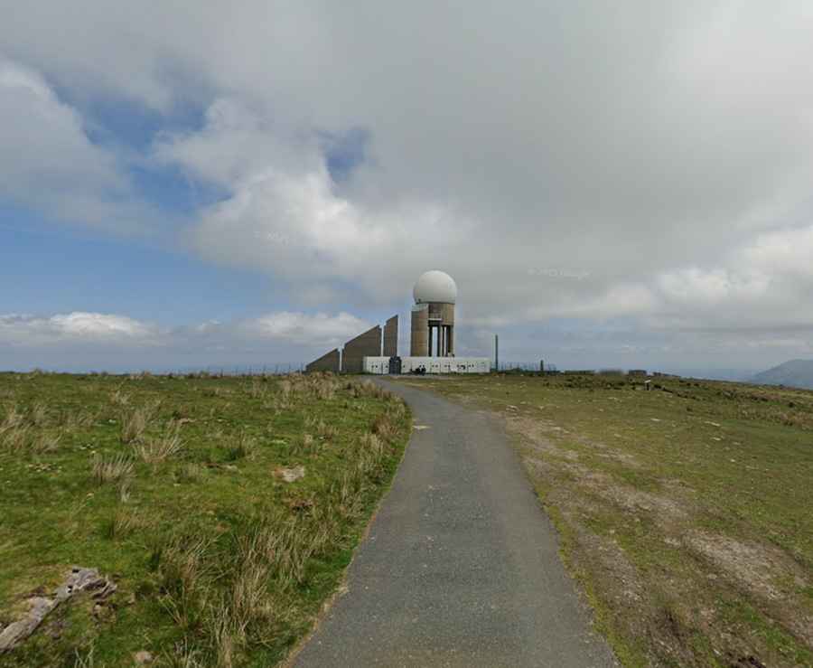
Is Sommet de l'Artzamendi worth it?
Located in the southern part of the country, the summit is home to a radar dome and communication towers. From the top, you can enjoy expansive views, with the panorama of the Basque Country stretching almost to the Atlantic coast.