How To Have The Ultimate Road Trip To Le Signal in the Provence
Le Signal is a high mountain peak at an elevation of 2.350m (7,709ft) above the sea level, located in the department of Alpes-de-Haute-Provence, in the Provence-Alpes-Côte d'Azur region of France.
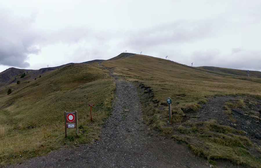
Located to the west of the Parc National du Mercantour, the road to the summit is totally unpaved. It’s a chairlift access road closed to private vehicles.
The road to the summit is very steep, hitting a 19% of maximum gradient through some of the ramps. Starting at Col d'Allos, the ascent is 500m long. Over this distance the elevation gain is 72 meters. The average gradient is 14.4%.
Set high in the south French Alps, the road is totally impassable in winters. 4x4 vehicles only.