How to drive the paved Bigorno Pass in Corsica?
Col de Bigorno is a mountain pass at an elevation of 888m (2,913ft) above sea level, located on the island of Corsica, in France.
Where is Col de Bigorno?
The pass, also known as Bocca di Bigornu, is located in the Haute-Corse department, on the northern part of the island of Corsica. A minor gravel road (west of the pass) climbs up to a communication station.
Is Col de Bigorno paved?
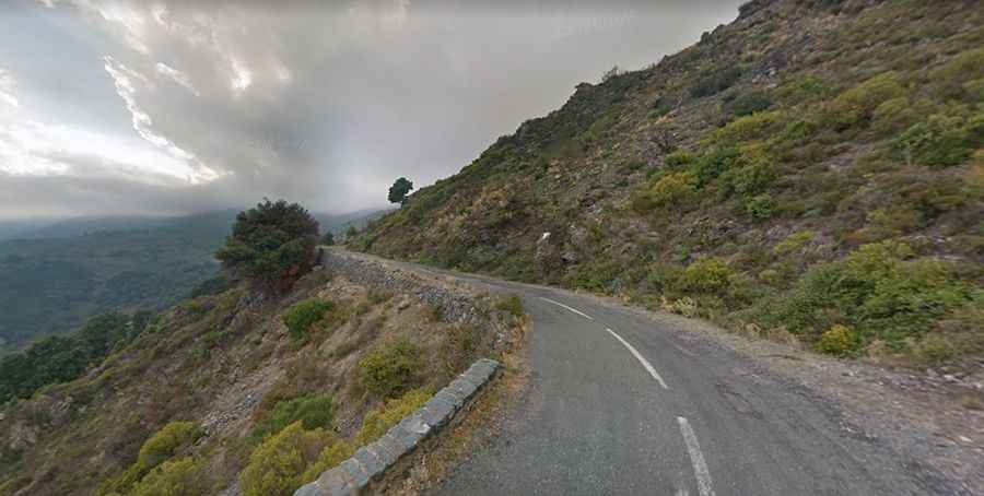
The road to the summit is totally paved, in pretty bad condition. It’s called D5. It’s a very curvy drive, with 5 hairpin turns, and features steep sections, hitting a 12% of maximum gradient through some of the ramps.
How long is the road to Col de Bigorno?
The road through the pass is 13.2 km (8.20 miles) long, running south-north from Bigorno to Murato.
Is the road to Col de Bigorno open year-round?
Set high in the Serra di Tenda, the summit is subject to strong north and north-westerly winds. The road is open year-round.