If you love to drive, you’ll love the road to Madone d'Utelle
Madone d'Utelle is a high mountain sanctuary at an elevation of 1.177m (3,861ft) above sea level, located in the Alpes-Maritimes department of France.
Where is Madone d'Utelle?
The church is located in the Provence-Alpes-Côte d'Azur region in the part of the country.
Is the road to Madone d'Utelle paved?
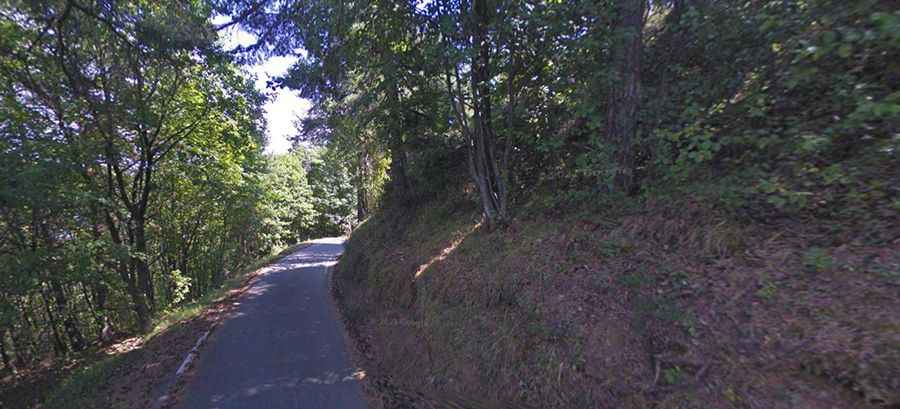
The road to the summit is paved but extremely narrow. It’s called M132. The road is also a real goody for motor bikers: the M32 and M132 have lots of hairpin bends, is a steep, bad and a tight road and until you reach the village of Utelle there is also a lot of traffic.
How steep is the road to Madone d'Utelle?
The road has been featured in the Paris-Nice race. It is very steep, hitting a 14% of maximum gradient through some of the ramps.
How long is the road to Madone d'Utelle?
Starting at M32 road, the ascent is 5.6 km long. Over this distance the elevation gain is 357 meters. The average gradient is 6.37%.
How to drive higher after Madone d'Utelle?
Arrived in front of the sanctuary, the road can continue up to 800m further, even narrower, to the orientation table (1,194m) and the TDF antenna. At the summit you have a fantastic view towards the surrounding mountains and also towards Nice and the sea.
Road suggested by: Michael Spannlang