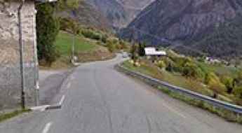
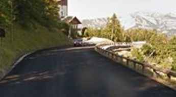
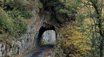
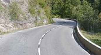
What are the most spectacular roads in France?
France is a true paradise for those wishing to experience the most spectacular roads, and it provides endless experiences for each driver. From stunning balcony roads, mountain passes, and coastal drives, to roads disappearing with the tides, it hosts more than 750 roads listed as the most spectacular in the world.
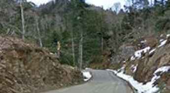
Located in the western part of Europe, France covers an area of 551,695 square kilometers and shares borders with 7 countries: Belgium, Luxembourg, Germany, Switzerland, Italy, Spain, and Andorra. With high mountains in the Alps and the Pyrenees, the roads of the country are famous worldwide because of the Tour de France, the most important cycling race. When traveling to the country, be sure to experience a drive through the best balcony roads. Dramatically carved out of rock on the side of mountains, the balcony roads are a unique experience for any rider.
The country also hosts iconic roads, known worldwide, including Col du Chaussy, a mountain pass at 1,533m (5,029ft) above sea level, famous for the “Lacets de Montvernier,” a special 3 km stretch with 17 hairpins as the road virtually climbs a cliff, or Col de Turini, a treacherous Alpine road with a legendary driving history, as one of the most dangerous and challenging stages of the Monte Carlo Rally and one of the most scenic drives in the world. For those preferring another kind of experience, don’t forget to drive Passage du Gois, the tide-covered road. It’s a natural passage flooded twice a day by the high tide leading to the island of Noirmoutier.
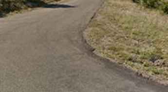
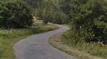
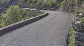
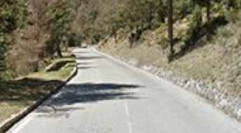
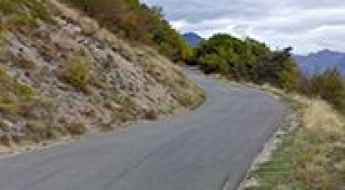
A wild paved road to the top of Col du Negron
Col du Négron is a mountain pass at an elevation of 1,242m (4,074ft) above sea level, located in the Drôme department of France.
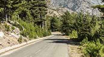
Aiguille de Peclet is one of the highest roads of Europe
Aiguille de Péclet is a high mountain peak at an elevation of 2,951m (9,681ft) above sea level, located in the Savoie department of France. It’s one of the highest roads in Europe.
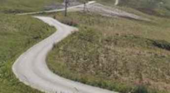
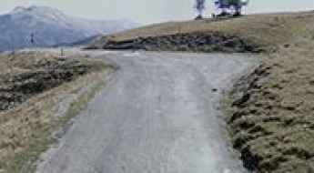
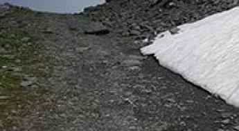
D108: Driving the steep ramps to Lac de Plan d’Aval in the Vanoise Massif
Lac de Plan d’Aval is a high-mountain reservoir situated at an elevation of 2,041m (6,696ft) above sea level in the Savoie department of France. Located within the breathtaking Vanoise National Park, the road to this alpine lake offers a short but intense driving experience with significant gradients and stunning mountain scenery.
An iconic road to Port de Boucharo in the Pyrenees
Port de Boucharo-Puerto de Bujaruelo is an international high mountain pass at an elevation of 2,278 m (7,473 ft) above sea level, located on the Spanish-French border. The last part of the road to the summit is blocked to vehicles by large rocks.
Driving the D76 road to Orcières Merlette in the French Alps
Orcières Merlette is a ski resort at an elevation of 1,823m (5,980ft) above sea level, located in the Hautes-Alpes department of France.
A paved road to Chalet Hotel du Gioberney in the heart of the Ecrins Park
Chalet Hôtel du Gioberney is a high mountain refuge at an elevation of 1.649m (5,410ft) above sea level, located in the Hautes-Alpes department of France, within the Cirque du Vaccivier.
An epic paved road to Vallon du Melezet in the Alps
Vallon du Mélézet is a high mountain pass at an elevation of 1.821m (5,974ft) above sea level, located in the Hautes-Alpes department of France.
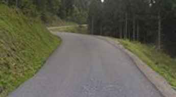
Driving the D520B balcony road through Gorges du Guiers Mort
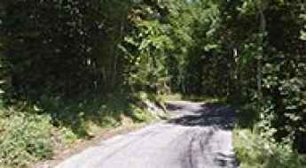
Gorges du Guiers Mort is a deep, narrow canyon located in the Isère department of southeastern France. Traversed by the D520B road, also known as the Route du Désert, this route is one of the most technical balcony roads in France. Carved directly into the limestone cliffs of the Chartreuse Natural Regional Park, the road follows the violent path of the Guiers Mort river. It is a world of permanent shadow, dripping rock faces, and narrow tunnels where the physical limits of your vehicle are tested by a strict height clearance and the constant threat of rockfall.
A hairpinned paved road to the summit of Col de la Chaudiere
Col de la Chaudière is a mountain pass at an elevation of 1.047m (3,435ft) above sea level, located in the Drôme department, in France.
A curvy paved mountain road to Col de la Savoliere
Col de la Savolière is a mountain pass at an elevation of 1.421m (4,662ft) above sea level, located in the Haute-Savoie department of France.
An awe-inspiring road to Col du Cap Nestes in the Pyrenees
Col du Cap Nestès is a high mountain pass at an elevation of 1.683m (5,521ft) above sea level, located in the Hautes-Pyrénées department of France.
An Explorer's Guide to Col de la Bailletta
Col de la Bailletta is a high mountain pass at an elevation of 2.852m (9,356ft) above sea level, located in the Savoie department in France.
Col de l’Echarasson is a classic road trip in southeastern France
Col de l’Echarasson is a mountain pass at an elevation of 1.146m (3,759ft) above sea level, located in the Drôme department in France.
Road Trip Guide: Conquering Col des Ruillans in the Hautes-Alpes
Col des Ruillans is a high mountain peak with an elevation of 3,231m (10,600ft) above sea level, located in the Hautes-Alpes department of France. It’s one of the highest roads in Europe.
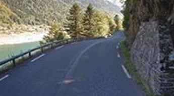
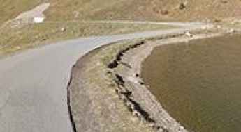
Lac de Cap-de-Long: One of the Highest Paved Roads in the French Pyrenees
Lac de Cap-de-Long is a high mountain lake located at an elevation of 2,161m (7,089ft) above sea level in the Hautes-Pyrénées department of France. It’s one of the highest paved roads in the French Pyrenees, even higher than the famous Col du Tourmalet.
Driving the Sensational Road to Col de Guery
Col de Guéry is a mountain pass at an elevation of 1,268 m (4,160 ft) above sea level, located in the Puy-de-Dôme department of France.
A treacherous paved road to the summit of Col du Parquetout
Col du Parquétout is a mountain pass at an elevation of 1,448 m (4,750 ft) above sea level, located in the Isère department of France.
A Fantastic Road to Col des Saisies, with Great Views of Mont Blanc
Col des Saisies is a high mountain pass with an elevation of 1,657m (5,436ft) above sea level, located in the Savoie department of France. The pass is traversed by the scenic Route des Grandes Alpes.
An Iconic Road to Col du Joly in the French Alps
Col du Joly is a high mountain pass at an elevation of 1,989m (6,525ft) above sea level, located in the Rhône-Alpes region of France.
D212C: Driving the Paved Ascent to Col de l’Homme in the French Alps
Reaching an elevation of 1,766m (5,793ft) above sea level, Col de l’Homme is a high mountain peak located in the Isère department within the Auvergne-Rhône-Alpes region of southeastern France. The summit is accessible via a paved road that serves the Notre-Dame de la Salette sanctuary.
Driving a Balcony Road Through Cirque de Navacelles in France
Cirque de Navacelles is a deep, steep-sided canyon straddling the Hérault and Gard departments in France. It’s one of the most famous French balcony roads.
How to get by car to Chateau de Queribus in Occitanie?
Perched high up on a rocky hill, Château de Quéribus is a castle located in the commune of Cucugnan in the Aude department of France.
Driving an Iconic Alpine Road with Hundreds of Turns to Col des Champs
Col des Champs is a high mountain pass at an elevation of 2,092m (6,863ft) above sea level, located in the Provence-Alpes-Côte d'Azur region of France.
A 5-star road to Col d'Ares in the Pyrenees
Coll d'Ares-Col d'Ares is an international high mountain pass at an elevation of 1,513m (4,964ft) above sea level, located in the Pyrenees on the border between France and Spain.
An iconic road to Col Saint Martin in the Alpes-Maritimes
Col Saint Martin is a high mountain pass at an elevation of 1,500 m (4,921 ft) above sea level, located in the Alpes-Maritimes department of France. The pass is traversed by the scenic Route des Grandes Alpes.
A sensational road to Lac de Fabreges in the Pyrenees
Lac de Fabrèges is a mountain lake at an elevation of 1.241m (4,072ft) above sea level, located in the Pyrénées-Atlantiques department of France.
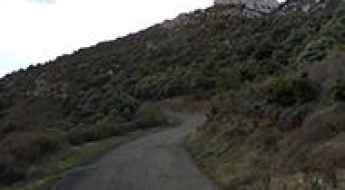
How to Get by Car to the Abandoned Haut Asco Ski Resort in Corsica
Station de Ski du Haut Asco is an abandoned ski resort at an elevation of 1,509m (4,950ft) above sea level, located in Corsica, a French island in the Mediterranean Sea. It’s one of the highest roads in Corsica.
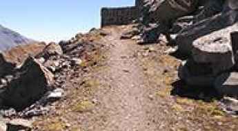
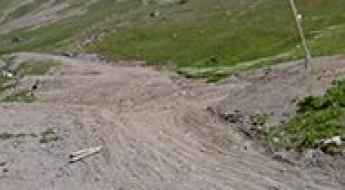
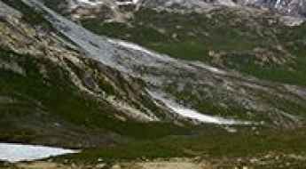
An Old Military Road to the Summit of Mont Malamot in the Cottian Alps
Mont Malamot is a high mountain peak at an elevation of 2,885 m (9,465 ft) above sea level, located in the Savoie department of France. The road to the summit is permanently closed to motorized vehicles.
A Nice Road to Col de Valberg in the Alpes Maritimes
Col de Valberg is a high mountain pass at an elevation of 1,672m (5,475ft) above sea level, located in the Alpes-Maritimes department of France.
The Road to Col de Viraysse: No Turning Back If You Change Your Mind
Col de Viraysse is a high mountain pass at an elevation of 2,746m (9,009ft) above sea level, located in the Alpes-de-Haute-Provence department of France. The road is extremely narrow, and the drop-offs can be quite intimidating. There’s only enough room for one car to go up, and there’s no option to turn around if you change your mind.
Driving the Mythical Road to Col d'Aspin in the French Pyrenees
Col d'Aspin is a high mountain pass at an elevation of 1,489m (4,885ft) above sea level, located in the department of Hautes-Pyrénées, in France.
Col de Castillon is an Absolute Must for Road Lovers in the Alpes-Maritimes
Col de Castillon is a mountain pass at an elevation of 707 m (2,319 ft) above sea level, located in the Alpes-Maritimes department of France. The pass is traversed by the scenic Route des Grandes Alpes.
Col du Noyer is an iconic Tour de France climb
Col du Noyer is a high mountain pass with an elevation of 1,664m (5,459ft) above sea level, located in the Hautes-Alpes department of France.
The Steep, Rough Road to Col de la Vallee Etroite is Not for the Faint of Heart
Col de la Vallée Étroite is a high mountain peak at an elevation of 2,735 m (8,973 ft) above sea level, located in the Savoie department of France.
Col de Joux Plane is one of the six major passes of the French Alps
Col de Joux Plane is a high mountain pass at an elevation of 1,697m (5,567ft) above sea level, located in the Haute-Savoie department of France. For cyclists, it’s renowned as one of the six major passes of the French massif, alongside the Galibier, Izoard, L’Alpe d’Huez, Mont Ventoux, and the Tourmalet.
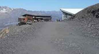
Val Thorens: One of the Longest and Biggest Climbs in France
Val Thorens is a ski resort at an elevation of 2,300m (7,545ft) above sea level, located in the Savoie department of France.
D29 is an Iconic French Balcony Road in the Aude department
The picturesque D29 is a short mountain road located in the Aude department of France. It’s one of the most scenic French balcony roads.

Travel Guide to the Top of Fort de la Marguerie in the Maritime Alps
Fort de la Marguerie is a high mountain fort at an elevation of 1,842 m (6,043 ft) above sea level, located in the Maritime Alps department of France.
A Wild 4x4 Road to Col du Bouchet in the Massif de la Vanoise
Col du Bouchet is a high mountain peak at 3,004 m (9,855 ft) above sea level, located in the Savoie department of France. It's one of the highest roads in Europe.
Driving Through the Iconic Tunnel du Galibier
Tunnel du Galibier is a high mountain tunnel at an elevation of 2,576m (8,451ft) above sea level, located in France. Before 1976, the tunnel was the only passage point at the summit. It was closed for restoration until 2002, after which a new road was constructed over the summit.
Driving the dizzying paved road to Col du Portillon on the Spanish-French border
Col du Portillon-Coll de Portilló is an international high mountain pass at an elevation of 1,293 m (4,242 ft) above sea level, located on the border of Spain and France.
Col des Gets is a classic road trip in the Alps
Col des Gets is a mountain pass at an elevation of 1.170m (3,838ft) above the sea level, located in the Haute-Savoie department of France. The pass is traversed by the scenic Route des Grandes Alpes.
Courage is Required to Drive to Pic de l’Herpie
Pic de l’Herpie is a high mountain peak at an elevation of 3,067m (10,062ft) above sea level, located in the Isère department of France. It’s one of the highest roads in Europe.
How to get by car to Commerson Crater on Reunion Island?
Cratère Commerson is a volcanic crater at an elevation of 2,328m (7,637ft) above sea level, located on the eastern side of Réunion Island in the Indian Ocean.
Travel guide to the top of Col des Ves
Col des Ves is a high mountain peak at an elevation of 2.793m (9,163ft) above sea level, located in the Savoie department of France.