How to drive the scenic Route 70 in the Faroe Islands?
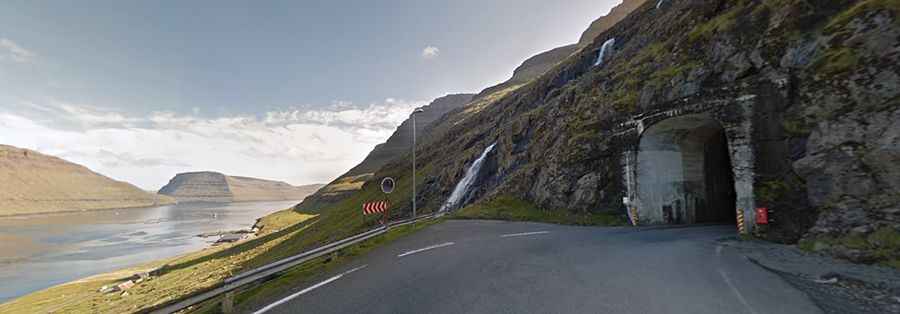
Route 70 is a very scenic drive that takes you across the dramatic coastline of the Faroe Islands, in the northeastern part of the archipelago.
Is Route 70 paved?
The road is entirely paved and in good condition. However, it passes through two of the Faroe Islands' most challenging single-lane tunnels on a two-way road, where drivers must remain constantly alert and yield right-of-way when required: the Hvannasundstunnilin (2,120 m) and the Árnafjarðartunnilin (1,680 m).
How long is Route 70?
The road is 16 km long, running south-north from the bustling fishing port of Klaksvík (the second-largest town in the Faroe Islands, on the island of Borðoy) to Viðareiði (one of the country's most beautiful villages and the northernmost settlement in the archipelago, located on the island of Viðoy).