The Olympics cycling Zig Zag road at Box Hill in England
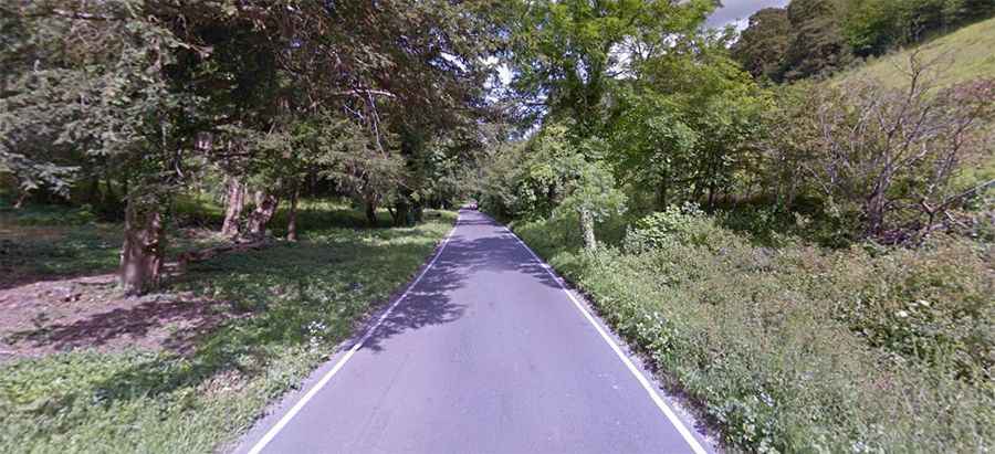
Zig Zag Road is a paved (pristine and smooth) drive winding its way up North Downs in Surrey county, in the South East of England. It has been dubbed as England's Most Twisty and Curved Road.
How long is Zig Zag Road Box Hill?
The road is 6.59km (4.1 miles) long, running west-east from Westhumble to M25 (London Orbital Motorway).
Is Zig Zag Road in England steep?
The road is totally paved, steep and very narrow and it is a popular test of fitness for cyclists. It’s a wonderful piece of road engineering that twists and turns its way up a hill side and offers a steady climb of 120 metres (390 ft) over 2.5 kilometres (1.6 mi). Although on a much smaller scale, it has been compared to Alpe d'Huez in the French Alps. It has an average gradient of 4.9%.
Why is Zig Zag Road Box Hill popular?
The road climbs up to Box Hill, a mountain pass at an elevation of 212m (695ft) above sea level. Popular with cyclists since the 1880s, the road featured in the 2012 Summer Olympics cycling road race events.