Midlands Escape: Technical Routes and Strategic Exits from Birmingham
Birmingham, located at the core of the UK’s motorway network, serves as the primary gateway to some of the most challenging terrains in England and Wales. While the city is often defined by its urban congestion, the strategic exits toward the Cotswolds and the Welsh border offer a rapid transition into technical driving environments. For the road enthusiast, these routes are less about the "picturesque village" and more about managing vertical shifts, narrow medieval lane architecture, and the high-speed transit toward the Welsh mountains.
| Birmingham Transit & Escape: Road Profiles | |
|---|---|
| A44 (The Cotswold Run) | High-gradient ridge roads and honey-pot lane congestion |
| A458 (Welsh Gateway) | Transition to undulating border-country technicality |
| A38 (Southbound Arterial) | High-speed dual carriageway with technical rural bypasses |
| Lickey Hills Sector | Extreme urban/rural gradient transition |
1. The A44: Ridge Navigation and Medieval Constraints
Exiting Birmingham via the A44 toward the Cotswolds is a study in architectural constraints. As you move toward Broadway and Chipping Campden, the road geometry shifts from modern dual carriageways to narrow, limestone-walled lanes. The technical challenge here is "lane discipline" in high-traffic tourist zones. The ascent toward the Broadway Tower provides one of the most significant elevation gains in the region, offering panoramic views that reveal the vast Severn Valley—a key indicator of the terrain's transition toward the west.
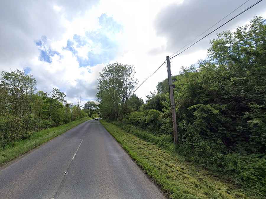
2. The A458: Strategic Gateway to North Wales
For those targeting the Welsh mountains, the A458 is the most efficient and technical artery. Crossing into the border town of Welshpool, the landscape becomes increasingly undulating. This route is a favorite for testing high-speed stability and braking response as you approach the foothills of the Snowdonia (Eryri) range. The road requires constant focus due to frequent agricultural traffic and sudden changes in surface quality at the national border.
3. The A38 and the Lickey Hills Gradient
Heading south on the A38 provides a different challenge. The primary technical sector is the Lickey Hills, an area of high-gradient terrain just outside the city limits. This sector is characterized by steep climbs and sharp drops through dense woodland, requiring precise gear selection to maintain momentum. Beyond the hills, the road levels out toward Bromsgrove, where the focus shifts to navigating the complex urban-rural interface of the Midlands.
4. Strategic Transit: M5 and M42 Junction Logistics
The motorways surrounding Birmingham (M5 and M42) are high-consequence transit zones. They serve as the staging ground for expeditions further afield. Understanding the transit times and congestion nodes is vital for logistics:
| Technical Destination | Transit Time | Primary Hazard |
|---|---|---|
| Peak District | 1.5 hours | High-altitude Pennine mist (A57) |
| Snowdonia, Wales | 2.5 hours | Single-track mountain passes |
| Bath / Somerset | 2 hours | Steep Georgian urban gradients |
Conclusion: The Midland Pivot
Birmingham is the pivot point for English road travel. Escaping the city requires more than just following a GPS; it requires a technical understanding of the transition from industrial sprawl to the rugged valleys of the West and the high ground of the North. By utilizing the A44 and A458 as strategic exits, you can turn a routine journey into a technical expedition across the heart of Britain.