A66 to Stainmore Summit is a defiant road in bad weather
Stainmore Summit is a mountain pass at an elevation of 443m (1,453ft) above the sea level, located on the boundary of Cumbria and County Durham, in England.
Can you drive to Stainmore Summit?
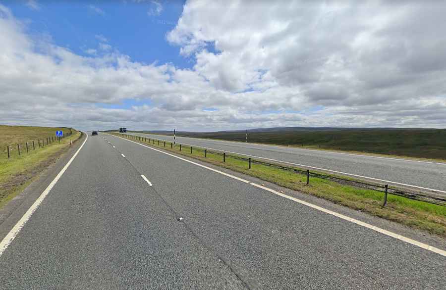
The road to the summit, also known as Stainmore Gap, is totally paved. It’s called A66. It’s a major A-road stretching from the north-west to the north-east of England. It runs from near Middlesbrough to Workington.
How long is Stainmore Summit?
Tucked away on the northern part of the country, the pass is 21.08km (13.1 miles) long, running west-east from Brough (in the Eden district of Cumbria) to Bowes (in County Durham). The road follows the footprint of the old Barnard Castle to Tebay line.
Is Stainmore Summit dangerous?
Travelling across the Pennines, the road is extremely challenging in periods of snow or high winds because of its elevation and exposure. It’s often closed to high sided vehicles. There are regular closures along the route due to incidents and weather impacts (high winds, flooding and snow). It is a regular occurrence in the winter time to have vehicles stuck in the snow or high sided trucks overturning.