How to drive the unpaved road to Gossenköllesee in Tyrol?
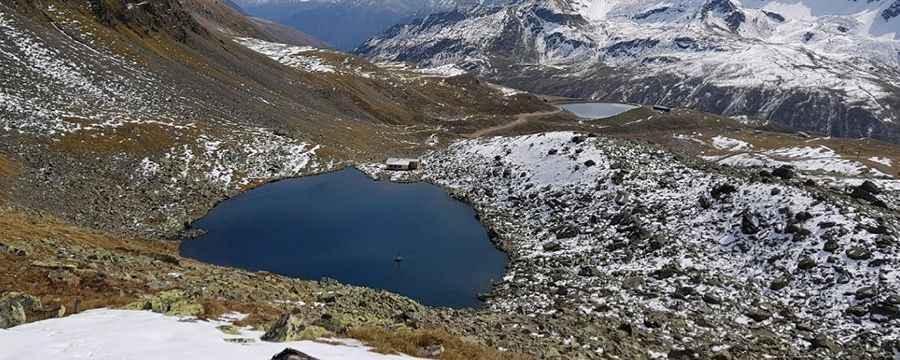
Gossenköllesee is a high-mountain alpine lake at an elevation of 2,445 meters (8,021 ft) above sea level, located in the Austrian state of Tyrol.
Is the road to Gossenköllesee unpaved?
The road to the summit is totally unpaved and rocky. It’s a rugged chairlift access trail designed for heavy-duty service. The road surface is composed of gravel and loose rocks that become increasingly challenging in the upper sections.
How challenging is the road to Gossenköllesee?
Tucked away in the western part of the country, there are no safety barriers, and the road is often narrow. On the descent, the road is a nightmare for braking systems. 4x4 vehicles only.
How long is the road to Gossenköllesee?
Starting from Kühtai, the road to the summit is 3 km long. Over this distance, the elevation gain is 404 m and the average gradient is 13.46%.
Is the road to Gossenköllesee open year-round?
Set high in the Stubaier Alps, the road is totally impassable in winters. Due to its extreme elevation in the Tyrolean Alps, the road is only accessible during a very narrow time-frame in late summer. For the majority of the year, the track is buried under deep snow and is part of the Kühtai ski area infrastructure. Even in July, patches of snow can remain on the north-facing slopes.
Pic: Chris B