How steep is the ski station road to Schwarzwand?
Schwarzwand is a high mountain peak at an elevation of 2,173 meters (7,129 ft) above sea level located in the Rauris Valley, within the Pinzgau region of Salzburg, in Austria. Starting from the town of Rauris, the unpaved service track climbs 1,212 vertical meters along ski resort infrastructure up to the upper chairlift stations.
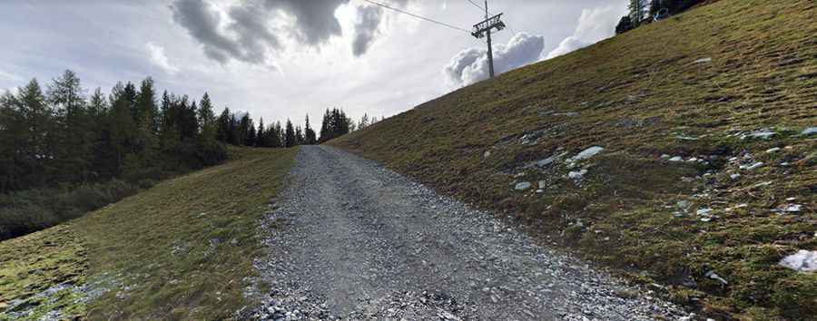
| Road facts: Schwarzwand (Rauris) | |
|---|---|
| Location | Rauris, Salzburg (Austria) |
| Elevation | 2,173 m (7,129 ft) |
| Length | 8.4 km (5.2 miles) from Rauris |
| Elevation Gain | 1,212 vertical meters |
| Average Gradient | 14.42% |
| Maximum Gradient | 20% |
| Surface | Unpaved loose gravel, dirt, and coarse scree track |
| Vehicle Requirement | High-clearance 4WD required |
Where is Schwarzwand located?
The peak is situated in the Hohe Tauern mountain system above the Rauris Valley in Salzburg. The 8.4-kilometer unpaved trail ascends from the valley floor in Rauris directly up the ski resort slopes to 2,173 meters.
Is the road to Schwarzwand paved?
No. The entire 8.4-kilometer track is completely unpaved, consisting of loose stones, dirt, and coarse scree. Serving as a maintenance route for local chairlifts, the narrow surface lacks guardrails along steep embankments.
How steep is the drive up Schwarzwand?
The track climbs 1,212 vertical meters over 8.4 kilometers, producing a sustained average gradient of 14.42%. Steep sections hit ramps of 20%, where loose rock causes severe wheel spin without low-range 4WD.
When is the road to Schwarzwand open?
Due to heavy winter snow and ski resort activity, the track is only passable during a narrow summer window, typically clearing late in the season around August. Sudden alpine snowstorms and high winds remain constant risks near the summit.
Pic: Pavel Matyasko