How long is the Goldeck-Panoramastraße in Austria?
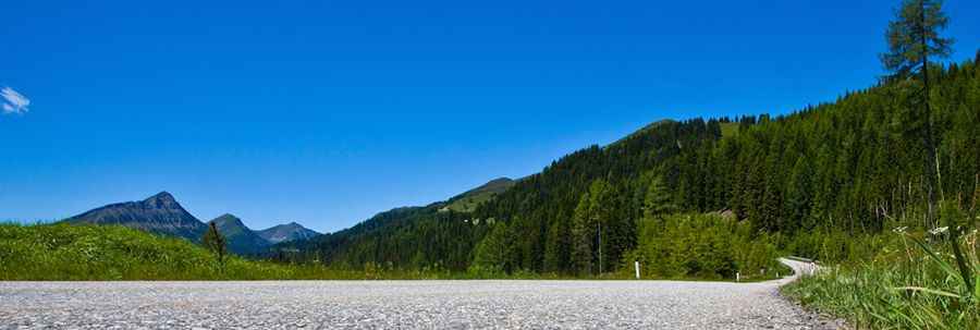
The Goldeck-Panoramastraße is a toll road that climbs to 1,895 meters located in Carinthia, Austria. It is one of the best-known mountain routes in the Austrian Alps and ends at a parking lot at the very top of the massif.
| Road facts: Goldeck-Panoramastraße | |
|---|---|
| Location | Carinthia, Austria |
| Length | 14.5 km (9 miles) |
| Max Elevation | 1,895 m (6,217 ft) |
| Max Gradient | 10% |
How long is the Goldeck-Panoramastraße?
The road is 14.5 km long and starts in the village of Zlan. The asphalt is in good condition, but the climb never lets up. For 14 kilometers, the engine has to work hard to cover a 1,000-meter elevation gain. Since it is a dead-end road, the only option once you reach the Seetal parking lot is to turn the car around and go back down the same way.
What is the gradient of the Goldeck road?
The climb has 10 hairpin turns and ramps that reach a 10% incline. This is not a road for speeding; if your car has low power, you will see the temperature needle rise quickly. On the way down, watch your brakes. Descending 1,000 meters in one go will make the brake pads smell of burning if you don't use engine braking in low gears.
When is the Goldeck Panorama Road open?
You can only drive it from May to October, usually from 8:30 to 17:00. The rest of the year, snow blocks it completely. At nearly 1,900 meters, the weather changes in a heartbeat: you can leave Zlan in the sun and find thick fog at the hairpins that won't let you see the front of the car. There are no gas stations or workshops on the entire climb, so go up with a full tank.
How does the Goldeck toll work?
To enter, you have to pay at an automated machine. The ticket lets you reach the very top, where the path ends. If you plan to spend the day there, remember there is no exit on the other side of the mountain. The track is narrow in some spots and, although it is paved, the drops on the sides are steep and have very few protections.
Pic: https://www.goldeck-panoramastrasse.at