A memorable road trip to Reschen Pass in the Alps
Reschenpass-Passo di Resia is a high mountain pass at an elevation of 1.522m (4,993ft) above sea level, located in the Trentino-Alto Adige/Südtirol region of Italy, not far from the Austrian border.
Where is Resia Pass?
Tucked away in the northern part of the country, the pass is located between Brennerpass-Passo del Brennero to the east and the Splügenpass-Passo dello Spluga to the west.
When was the first road through Resia Pass built?
The first road traversing the pass was built between 1850 and 1854. It’s one of the lowest crossings of the Alps at all and is chosen by many travelers as a welcome alternative to the Brenner pass. This was also the place where barrages, such as the Passo di Resia and the Plamort Barrages were erected in the Second World War, defensive installations erected by Mussolini to prevent a possible invasion by the Nazis.
How long is Resia Pass?
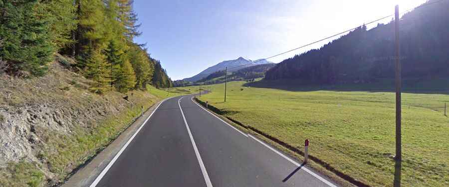
Set high in the Alps, the road to the summit is totally paved. It’s called Strada Statale 40 (SS40). It has steep sections, hitting an 8% of maximum gradient through some of the ramps. The pass is 22.4km (13.91 miles) long, running south-north from Malles Venosta to the Austrian border.