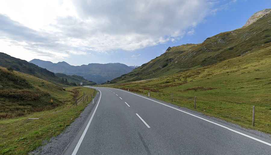
A paved road to Flexen Pass in the Austrian Alps
Flexen Pass is a high mountain pass at an elevation of 1.781m (5,843ft) above sea level, located in the Bundesland of Vorarlberg.
When was Flexen Pass in Austria built?
Used for centuries, the construction of the road through the pass started on August 3, 1895 by Johann Bertolini and his team and opened to traffic in 1909. Since 1936, the Flexenstrasse has been regularly cleared and kept open to traffic, even in winter.
Can I drive to Flexen Pass in Austria?
The road to the summit, also known as Flexenpass, is totally paved. It’s called Road 198 (Lechtal Strasse). The road leads to Arlberg Pass. The road is pretty steep, hitting a 10% of maximum gradient through some of the ramps. Some hundred meters to the south of the pass summit the road disappears into a very old avalanche tunnel, which covers the road almost the rest of the distance to the Arlberg pass exit. The 1.550m long tunnel is called Flexengalerie. The road in that avalanche tunnel is in awful condition and the ceiling of the tunnel is made out of old oak wood. The traffic is single-lane, managed with a traffic light system.
How long is the road to Flexen Pass in Austria?
The pass is 15.6 km (9.69 miles) long, running north-south from Warth to Stuben am Arlberg. The summit hosts a parking lot and a small snack bar (Restaurant Flexenhäusl - die außergewöhnliche Hütte).
Is Flexen Pass in the Austrian Alps open?
Set high in the Austrian Alps, access to the pass is typically open all year round but short term closures are common in winter due to dangerous weather conditions.
How long does it take to drive Flexen Pass in Austria?
Tucked away on the western part of the country, to drive the road without stopping will take most people between 25 and 30 minutes.