How to drive the brutally steep unpaved road to Schwarzkogl in Tyrol?
Schwarzkogl is a high-mountain peak at an elevation of 2975m (9,760ft) above sea level, located in the Austrian state of Tyrol.
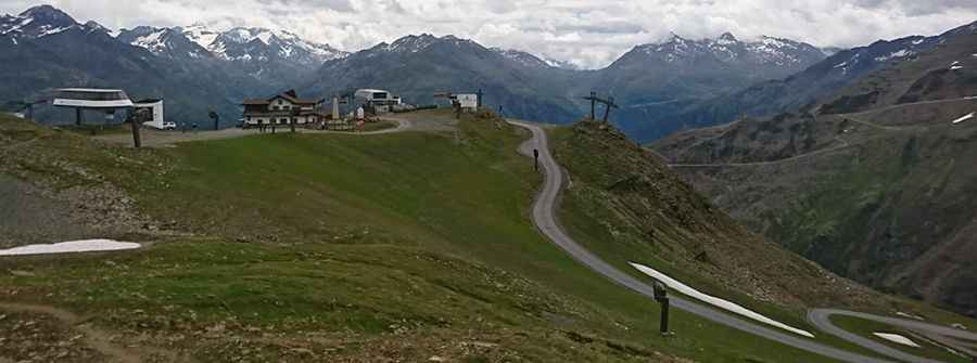
Where is Schwarzkogl?
The peak is located in the southwestern part of the country, within the Ötztal Valley. Near the summit, you can reach Schwarzsee, a high Alpine lake at an elevation of 2.850m (9,350ft) above sea level, and Einzeiger, a high mountain peak at an elevation of 2.751m (9,025ft) above sea level.
Is the road to Schwarzkogl unpaved?
The road to the summit is totally unpaved and rocky, composed of gravel and loose rocks. It’s a rugged chairlift access trail designed for heavy-duty service.
How challenging is the road to Schwarzkogl?
There are no safety barriers, and the road is often narrow. 4x4 vehicles only.
How long is the road to Schwarzkogl?
Starting from Ötztal Glacier Road, the road to the summit is 2.3 km long. Over this distance, the elevation gain is 406 m and the average gradient is 17.65%.
Is the road to Schwarzkogl open year-round?
Set high in the Tyrolean Alps of the Stubaier Alps, the road is totally impassable in winters. Due to its extreme elevation, the road is only accessible in late summer. Even in July, patches of snow can remain on the north-facing slopes.
Pic: Marcin Walek