How to drive the steep service road to Golzentipp?
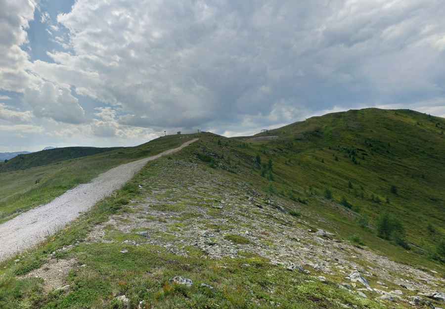
Golzentipp is a high mountain peak at an elevation of 2,236m (7,335ft) above sea level, located in the Gailtal Alps of Tyrol, Austria. The route is an unpaved service track primarily used for the maintenance of the local ski infrastructure and forest management. Logistically, it is a demanding ascent that requires a vehicle prepared for sustained steep gradients and loose alpine substrate.
| Road facts: Golzentipp | |
|---|---|
| Location | Tyrol, Austria (Gailtal Alps) |
| Elevation | 2,236 m (7,335 ft) |
| Length | 8.6 km (5.34 miles) |
| Average Gradient | 8.36% |
What are the technical hazards on the road to Golzentipp?
The 8.6 km climb from Rals involves an elevation gain of 719 meters. While the average gradient is 8.36%, the reality for the driver is more technical: the track features several ramps that exceed 12%, where the surface of crushed limestone and loose gravel makes traction difficult. Logistically, a high-clearance 4x4 is the only reliable option. Without a low-range gearbox, the risk of overheating the clutch or the automatic transmission is high, as the vehicle must maintain constant torque to overcome the incline without spinning the tires on the unstable soil.
Is the Golzentipp summit road open to private motorized traffic?
Logistically, the track to Golzentipp is a restricted access road. It is generally closed to private vehicles, serving strictly as a service corridor for the Obertilliach ski resort and forestry units. Technically, the road is buried under snow from October to June, making it completely impassable. For authorized missions, safety protocols dictate extreme caution on the descent: the 8.6 km run back to Rals puts significant thermal stress on the braking system. Using low gears (engine braking) is essential to avoid brake fade, especially since the track lacks any form of lateral safety barriers.
How does the elevation at Golzentipp affect vehicle performance?
At 2,236m, the atmospheric pressure is significantly lower than at the valley floor. Technically, this reduces the oxygen available for combustion, which can result in a noticeable power drop in naturally aspirated engines. Logistically, this means the driver must anticipate maneuvers and gear shifts earlier than usual. The summit provides a clear line of sight to the Lienz Dolomites and the Großglockner, which is useful for identifying incoming weather fronts from the Hohe Tauern. Rapid temperature drops are common at this altitude, and the track can turn from dry gravel to slippery mud in minutes during a storm.
Pic: bunter Regenbogen