Driving the scenic Stoderzinken Alpine Road in the Austrian Alps
Stoderzinken Alpenstraße is a very scenic drive subject to a toll located in the Austrian state of Styria, offering rewarding panoramas.
How long is Stoderzinken Alpine Road?
The road, also called Panoramastraße Stoderzinken, is 10.9 km (6.77 miles) long, running from Grobming to the Stoderzinken ski area, ending at 1.836m (6,023ft) above the sea level.
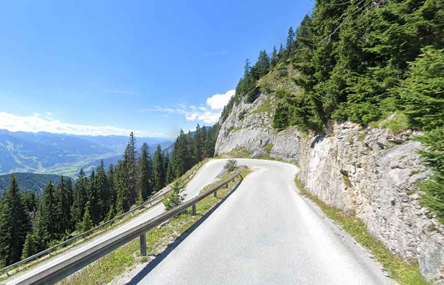
Is Stoderzinken Alpine Road paved?
The toll road is totally paved, but winding and sometimes narrow through bare rock, featuring 20 hairpin turns. It’s said to be the highest alpine road in Styria. With an average gradient of 9%, it hits a 13% of maximum gradient. Plan about 25 minutes to complete the remarkable drive without stops.
When was Stoderzinken Alpine Road built?
Set high in the Low Tauern range of the Central Eastern Alps, the road was built between 1958 and 1961 by the Stoderzinken road association as a prospective road. Completed in 1962, it was completely renovated in the early 2000s.