The Ultimate Guide to Conquer the Kepa-Mittagskogel
Kepa-Mittagskogel is a high mountain peak at an elevation of 2.145m (7,037ft) above sea level, located on the border of Slovenia and Austria.
Where is Kepa-Mittagskogel?
Set high in the Western Karawanks range, the peak links the Upper Carniola region of Slovenia and the Austrian state of Carinthia. The summit resembles a rocky pyramid with a rounded summit.
When was the road to Kepa-Mittagskogel built?
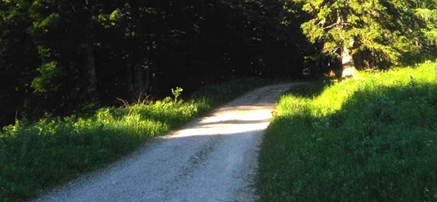
A forest dirt road, built between the two World Wars, runs from the village of Belca -on the Slovenian side- to a saddle at the state border at about 1.600m above sea level. Then it is closed for public traffic.
How long is the road to Kepa-Mittagskogel?
It’s 7.8km (4.84 miles) long. It is one of the most spectacular dirt roads in the country.
How to get to Bertahuette mountain hut by car?
At the north, starting from Kaernten in Austria, a road leads to Bertahuette, a mountain hut near the peak, but in 2006 it was closed, at an elevation of 1.180m abose level, with a big enough parking place.
Pic: Jörg Krug