Coll dels Isards: Driving the steep 15% ski track between Andorra and France
Reaching an elevation of 2,590m (8,497ft) above sea level, Coll dels Isards is an international high mountain pass situated on the rugged border between France and Andorra. Located in the heart of the Pyrenees, this pass is a high-altitude frontier where the terrain is dominated by granite peaks and the extreme verticality of the Grandvalira ski domain. It’s one of the highest roads in the country.
| Road facts: Coll dels Isards | |
|---|---|
| Location | Andorra-France Border (Encamp / Ariège) |
| Elevation | 2,590 m (8,497 ft) |
| Length | 2.6 km (1.6 miles) |
| Average Gradient | 15.23% |
| Hazard Level | High (Extreme slope & Loose rock) |
Is the road to Coll dels Isards unpaved?
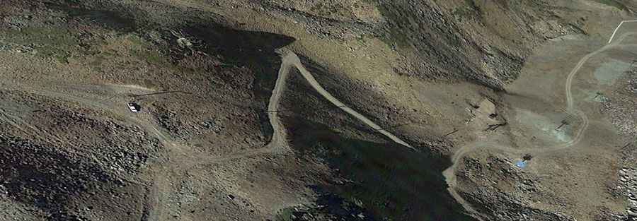
Yes, the road to the summit is totally unpaved. It is a dedicated chairlift service road used for the maintenance of the ski station infrastructure. The surface consists of loose shale and crushed Pyrenean granite, which makes traction a constant struggle. A heavy-duty 4x4 vehicle is strictly required to navigate the climb. It is important to note that no personal vehicles are allowed on this track; access is restricted to authorized personnel and maintenance crews. Along the way, you can enjoy a raw, high-mountain environment where the wind is often fierce and the views of the surrounding peaks are spectacular.
How long is the road to Coll dels Isards?
Starting from Pas de la Casa, in the Encamp parish of Andorra, the road to the summit is 2.6 km (1.6 miles) long. While the distance is very short, the elevation gain is a staggering 396 meters. This creates a brutal average gradient of 15.23%. This level of steepness is relentless, with virtually no flat sections to allow a vehicle's engine to rest. Navigating such an incline on a loose, unpaved surface requires expert driving skills and a vehicle with high torque and excellent cooling capacity to prevent overheating in the thin mountain air.
Is the road to Coll dels Isards open in winter?
No, set high in the Pyrenees mountain range, the track is completely inaccessible during the winter due to heavy snowfall. The road sits in the middle of an active ski resort and remains buried under meters of snow for most of the year. It typically only becomes passable for specialized 4x4 vehicles between July and September. Even during the summer months, rapid weather changes can bring sudden fog or storms, making the 15% dirt grade extremely hazardous. Always check the local forecast before attempting any high-altitude ascent in this border region.