Collada de Montaner: Driving the 9.6% 4x4 border track to Andorra
Reaching an elevation of 2,079m (6,820ft) above sea level, Collada de Montaner is an international high mountain pass situated on the ridgeline of the Pyrenees, marking the border between Spain and Andorra. This high-altitude crossing is a legendary route for off-roaders, linking the Spanish enclave of Os de Civís with the Andorran parish of La Massana.
| Road facts: Collada de Montaner | |
|---|---|
| Location | Spain-Andorra Border (Lleida / La Massana) |
| Elevation | 2,079 m (6,820 ft) |
| Length | 5.9 km (3.6 miles) |
| Average Gradient | 9.67% |
| Hazard Level | High (Extreme slope & Mud potential) |
Where is Collada de Montaner?
The pass is nestled in the heart of the Pyrenees, specifically connecting the Lleida province in Catalonia, Spain, with Andorra. The starting point on the Spanish side is the unique village of Os de Civís, an enclave that is only accessible by road through Andorran territory. This geographic isolation makes the Collada de Montaner a vital historical link and a spectacular scenic balcony, offering views over the Setúria valley and the high granite peaks that define the border region.
Is the road to Collada de Montaner unpaved?
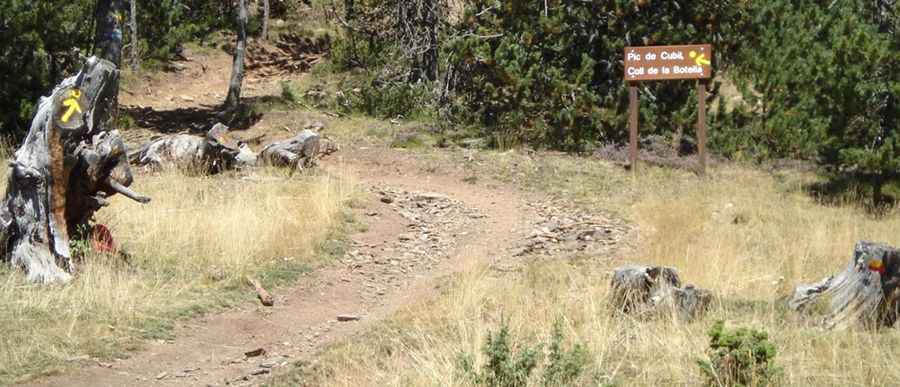
Yes, the road to the summit is totally unpaved and is considered a great trail for experienced wheelers. It is a technical track where a high-clearance 4x4 vehicle is strictly required. The surface consists of natural earth and loose shale, which can become extremely challenging during the shoulder seasons. Wet conditions may make for tough driving along the muddy road, where traction becomes a critical issue. The track is narrow and exposed, so it is a route to stay away from if you are scared of heights, as it offers very few safety barriers against the steep Pyrenean slopes.
How long is the road to Collada de Montaner?
Starting from Os de Civís, the road to the summit is 5.9 km (3.6 miles) long. Don't let the short distance fool you; over this stretch, you will tackle an elevation gain of 571 meters. This results in a brutal average gradient of 9.67%, with several sections featuring even steeper ramps. The climb is technical and relentless, featuring 10 sharp hairpin turns that snake up the hillside. Each hairpin requires precise steering and careful throttle management, especially on the unpaved surface where the 9.6% incline puts maximum stress on the vehicle's torque and cooling system.
Is the road to Collada de Montaner open in winter?
Due to its high elevation over 2,000 meters, the road is usually impassable from October to June. Heavy snow accumulation and ice make the steep 4x4 track dangerous and inaccessible for most of the year. Even in the summer, the weather can change instantly; sudden mountain storms can turn the dry track into a slippery mud slide in minutes. This is a high-intensity mountain road that requires professional preparation, a capable vehicle, and a high level of off-road driving skill. Avoid driving in this area if unpaved mountain roads are not your strong point.
Pic: https://es.wikiloc.com/rutas-mountain-bike/andorra-la-vella-pal-andorra-la-vella-per-collada-de-montaner-394778/photo-103943