Driving Hairpin After Hairpin to Collada de la Gallina
Collada de la Gallina is an international high mountain pass at an elevation of 1,912m (6,272ft) above sea level, located on the border between Spain and Andorra. It is a very demanding climb.
Where Is Collada de la Gallina?
Set high in the eastern Pyrenees mountain range, the pass connects the province of Lleida in the autonomous community of Catalonia, Spain, with the parish of Sant Julià de Lòria in Andorra.
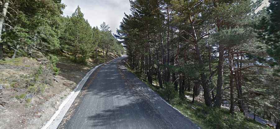
Driving the Road to Collada de la Gallina in Andorra
In Andorra, the road to the summit is fully paved and usually open from April to November. The climb has been featured in the Spanish Vuelta race. The pass is 14.4 km (8.94 miles) long, running from Bixessarri to Fontaneda. It’s a challenging climb, with 33 hairpin turns and many sections featuring gradients above 14.5%. Despite its difficulty, there is very little traffic on this climb.
Driving the Road to Collada de la Gallina in Spain
In Spain, a narrow, unpaved road leads up to the summit. A 4x4 vehicle is required to navigate this rough route. The road is 4.2 km (2.60 miles) long, starting from Civís. Over this distance, the elevation gain is 385 meters, with an average gradient of 9.16%.