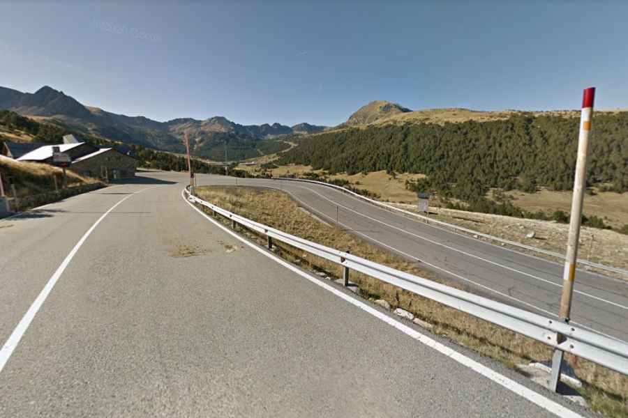
Port d'Envalira is the highest paved road in the Pyrenees
Port d'Envalira is a high mountain pass at an elevation of 2.408m (7,900ft) above sea level located in the Encamp parish of Andorra. It’s one of the highest roads in the country.
What’s the highest paved road of the Pyrenees?
Set high in the Pyrenees mountain range, the road to the summit is totally paved. It’s called CG-2. It is the highest asphalted road in the Pyrenees.
What’s the highest tunnel of the Pyrenees?
In 2002, the most challenging part of the road was bypassed by a 2,879 meters long toll tunnel. At 2.052m (6,732ft) above sea level, it’s said to be the highest tunnel in the Pyrenees. It’s a two-way tunnel with one lane per direction.
How long is Port d'Envalira?
The pass is 32.1 km (19.94 miles) long running west-east from Les Escaldes to El Pas de la Casa, on the French border.
Is Port d'Envalira open?
Access to the pass is typically open all year round but short term closures are common in winter due to dangerous weather conditions.
Is Port d'Envalira challenging?
The climb has been featured in the Tour de France and Vuelta a España cycling races. The road to the summit is pretty steep, hitting an 11.1% of maximum gradient through some of the ramps. The pass features 15 hairpin turns.
How long does it take to drive Port d'Envalira?
To drive the road without stopping will take most people between 45 and 60 minutes. The drive is very scenic, with lots of places to stop and look at the views.