How to get to Lake Les Abelletes on the French-Andorran border?
Estany de les Abelletes is a high mountain lake, at an elevation of 2,265m (7,431ft) above sea level, located on the border of France and Andorra. It’s one of the highest roads in the country.
Where is Estany de les Abelletes?
The lake, also known as Estany de Font Negra, is located on the border between the Encamp parish of Andorra and the Pyrénées-Orientales department, of the Occitania region of France. Lake Les Abelletes is the headwater of the Pas de la Casa River basin, which is a tributary of the Garonne. This river also serves as a natural border that separates Andorran territory from France, meaning it has both a French and an Andorran side.
Is the road to Estany de les Abelletes unpaved?
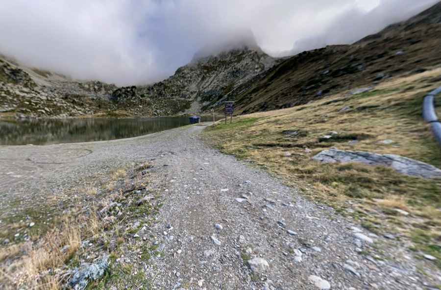
The road to the lake is a wide dirt road. It has loose rocks, so a high-clearance vehicle is required.
How long is the road to Estany de les Abelletes?
Starting from a parking lot at Port d'Envalira, the road is 1.2 km (0.74 miles) long. It’s closed to private vehicles.
Pic: Federico Gratti