How to get to Mount Hoverla, the highest mountain of Ukraine
Mount Hoverla is a mountain peak located in the Eastern Beskides, in the Chornohora region of Ukraine. It is the highest mountain in the country. East of its summit, a road climbs up to 1,270m (4,166ft) above sea level.
Why is it called Mount Hoverla?
Located within the Carpathian National Nature Park, the name “Hoverla” comes from the Hungarian term “hóvár,” which means “snowy mountain.”
How long is the road to Mount Hoverla?
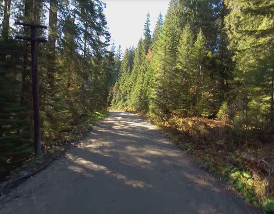
Set high in the Carpathian Mountains, the road is mostly unpaved by usually navigable by most passenger vehicles. Starting from the paved Р24 road, the drive is 12.2 km (7.58 miles) long. Over this distance the elevation gain is 440 m. The average gradient is 3.6%.
Is the drive to Mount Hoverla worth it?
Travelers heading to Zarosliak, a high mountain sports training resort, will find a toll section. Beyond this point, the road conditions worsen significantly for the next 8 km. Despite this, the route offers scenic views, with slopes covered in beech and spruce forests, eventually leading to sub-alpine meadows known as 'polonyna'. The eastern slope is the origin of the Prut River.
Pic: Dmitriy Malyshev