Pavlic Pass is one of the highest Slovenian roads
Pavlič Pass is an international mountain pass at an elevation of 1,349m (4,425ft) above sea level, located on the border of Slovenia and Austria. It’s one of the highest roads in the country.
Where is Pavlic Pass?
Set high in the Julian Alps, the pass links the northern Slovenian region of Lower Styria with the Austrian state of Carinthia, in the southern part of the country. The pass was named after Pavlič, a local farmer.
Is Pavlic Pass paved?
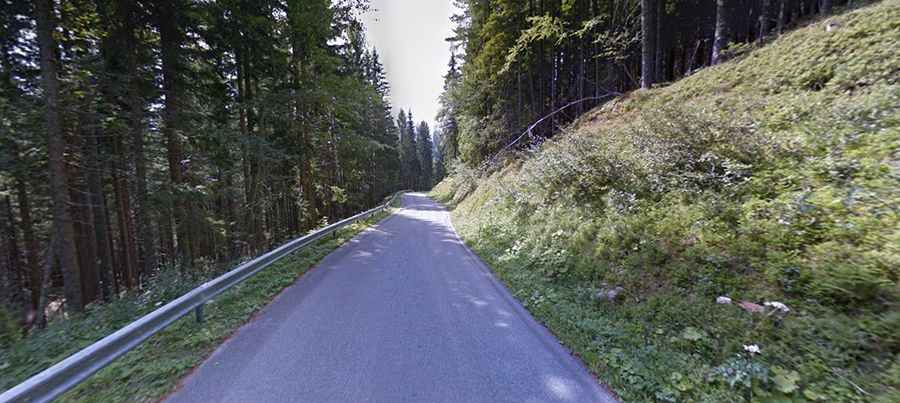
The road to the summit, also known as Paulitschsattel and Pavličevo Sedlo, is fully paved and quite narrow in parts. It’s called the Seeberg Highway (B 82) in Austria and 428 in Slovenia. The first road through the pass was built in 1894 and was fully paved in 2000.
How long is Pavlic Pass?
The pass is 19.3km (11.99 miles) long, running east-west from Solčava (in Slovenia) to Bad Vellach (in Austria). The road to the summit is very steep, with a maximum gradient of 15.7% through some of the ramps. Sometimes you drive through thick forests, while at other times you'll pass through villages and meadows. Fit cyclists and motorbikers love this route in nice weather.