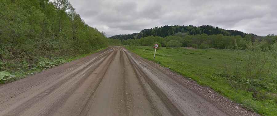
A remote road to Pereval Nevelskiy in the Sakhalin Oblast
Pereval Nevel’skiy is a mountain pass at an elevation of 437m (1,551ft) above sea level, located in the Sakhalin Oblast of Russia. It serves as a vital link across the southern mountain ridges of the island.
Where is Pereval Nevelskiy?
The pass is located on the boundary between Nevelsky and Anivsky districts, in the southwestern part of Sakhalin Island. It crosses the Bambukovyy Range (Bamboo Range), connecting the western coast on the Sea of Japan with the inland plains leading to the Aniva Gulf.
🇷🇺 Pereval Nevelskiy Road Data
| Elevation | 437m (1,551ft) |
| Route Number | 64H-6 |
| Distance | 47.3 km (29.3 miles) |
| Mountain Range | Bambukovyy Range |
Can I drive through Pereval Nevelskiy?
The road through the pass is the 64H-6 highway. While it is a regional road, it remains mostly unpaved, consisting of gravel and packed earth. The route is navigable by passenger vehicles during the summer, but heavy rains can make the surface muddy and challenging. Due to its coastal proximity, the pass is frequently affected by sea fog and low visibility, characteristic of the Sakhalin maritime climate.
How long is the road to Pereval Nevelskiy?
The road is 47.3 km (29.39 miles) long, linking the port town of Nevelsk (a major regional administrative center) with the settlement of Petropavlovskoye. The drive involves a steady ascent from sea level through dense Sakhalin taiga and bamboo thickets, which are unique to this Russian region.
Is Pereval Nevelskiy open in winter?
The 64H-6 road is subject to extreme Siberian weather patterns. During winter, the pass experiences heavy snowfall and blizzards. While authorities attempt to keep the regional link open, the pass can be temporarily closed for days during Pacific cyclones. Travelers are advised to check local weather reports from the Nevelsk port authority before attempting the crossing in winter.