Travel the nerve-shredding Mamisoni Pass
Pereval Mamisonskiy is an international high mountain pass at an elevation of 2.836m (9,304ft) above sea level, located on the border of Georgia and the Republic of North Ossetia-Alania of Russia. It's one of the highest roads of Europe.
Where is Mamisoni Pass?
Set high in the Racha-Lechkhum-Kvemo Svaneti Planned National Park, the pass, also known as Mamison Pass links the Republic of North Ossetia-Alania (Russia) and the region of Racha-Lechkhumi and Kvemo Svaneti (Georgia).
When was the road to Mamisoni Pass built?
It’s one of the highest roads of the country. The pass is traversed by the North Ossetian Military Road, a highway that links Kutaisi (Georgia) with Alagir (North Ossetia, Russian Federation). It was constructed between 1854 and 1889, by Imperial Russian authorities in the Caucasus.
Is Mamisoni Pass challenging?
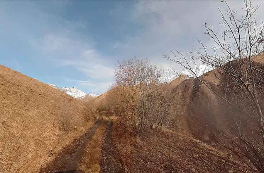
The road is totally unpaved, extremely narrow, tightly hairpinned, bumped, with sharp and blind curves leading the traveler over the mountains. The road to the summit is brutally steep, hitting a 17% of maximum gradient through some of the ramps
How long is Mamisoni Pass?
The pass is 33.6 km (20.87 miles) long, running west-east from Shovi (Racha-Lechkhumi and Kvemo Svaneti in Georgia) to Kamskho (North Ossetia–Alania Republic, Russia). Near the summit, at an elevation of 2.847m (9,340ft) above the sea level, is a meteo station.
Is Mamisoni Pass open?
Located in the central Greater Caucasus crest, and the place where the geographical border between Europe and Asia lies, it is the highest point drivable by 4x4 vehicles in Georgia, and open only some months due to heavy snowfalls.
Pic: Vasyl Haievyi