Driving the M32 Highway: Kazakhstan’s Modern Silk Road from Russia to Kyrgyzstan
The M32 Highway, also known as the Aral Highway, is one of the most vital asphalt arteries in Central Asia. Crossing the vast steppes of Kazakhstan, it serves as a modern reincarnation of the Silk Road, linking the Russian border in the north with the Kyrgyz frontier in the south. For overlanders and long-haul drivers, it is the ultimate transit route through the heart of the Kazakh desert.
| Road facts: M32 Highway (Aral Highway) | |
|---|---|
| Location | Kazakhstan (Oral to Shymkent) |
| Length | 2,046 km (1,271 miles) |
| Major Cities | Oral, Aktobe, Aral, Baikonur, Turkistan, Shymkent |
| Road Status | Mostly Modernized / Some sections in repair |
| Time to drive | 30 to 45 hours |
How long is M32 road?
The M32 Highway is approximately 2,046 km (1,271 miles) long. It runs north-south, starting in Oral (Uralsk) near the Russian border, passing through Aktobe, the Aral Sea region, and the space-age city of Baikonur, before reaching Shymkent, the capital of the South Kazakhstan Province. From Shymkent, the road continues toward the border with Kyrgyzstan. Driving the entire length is a test of endurance, often taking between 30 and 45 hours depending on weather conditions and border crossing times.
Is M32 road paved?
The M32 is part of the European Route E38 and has undergone a massive transformation as part of the "Western Europe-Western China" transit corridor. Most of the road is now fully paved with modern asphalt, replacing the old Soviet-era concrete slabs. However, do not be overconfident: in remote desert sections, extreme temperature fluctuations (from +45°C in summer to -40°C in winter) cause severe heaving and potholes. Some older sections or areas under maintenance can still be bumpy, and heavy sandstorms can occasionally cover parts of the asphalt, creating sudden traction loss.
Is M32 road busy?
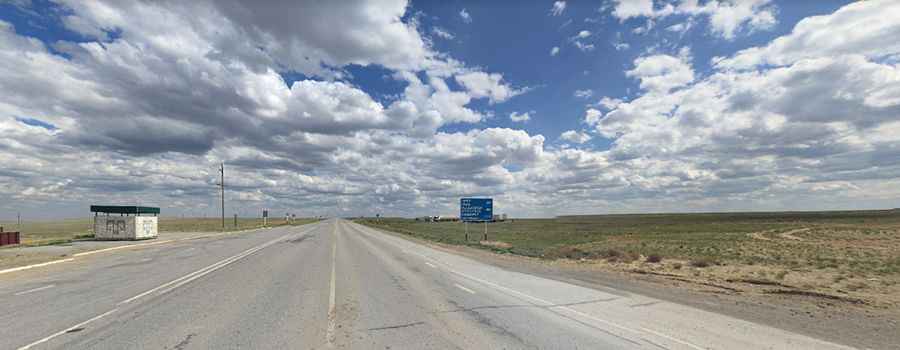
Yes, the M32 is a high-traffic corridor for international logistics. It is heavily used by thousands of trucks transporting goods between China, Uzbekistan, and Russia. Because it is a desert route, facilities are scarce. You can drive for hundreds of kilometers without seeing a reliable gas station or a rest stop. Drivers must be self-sufficient, carrying extra water, fuel, and basic spare parts. The section near the Aral Sea is particularly desolate, where the "scenic" views consist of endless horizons and the occasional camel crossing the road.
When was the M32 road built?
The M32 was originally designed during the Soviet era to connect Samara (Russia) with Shymkent. For decades, it was notorious for its "asphalt slabs" and lack of basic safety features. While recent modernization has added lane markings and improved sections, much of the route still lacks lighting and delineators. Night driving remains extremely dangerous due to the presence of wandering livestock (camels and horses) and the hypnotic fatigue caused by the perfectly flat, straight sections of the road. It remains a remote drive that requires total mechanical preparation and a high degree of alertness.
What are the main hazards on the M32?
The greatest danger on the M32 is not the pavement, but the isolation. In winter, the road can be closed for days due to "Buran" (intense snow blizzards) and extreme ice. In summer, the heat can lead to tire blowouts. Additionally, the vast distances between towns mean that a mechanical breakdown can quickly become an emergency. Always check your tires and cooling system before leaving Aktobe or Aral, and ensure you have a full tank of fuel, as the "next station" might be 300 km away.
Pic: Kovács Tibor