Driving the Kurtatinsky Pass: A brutal 29% mountain climb in North Ossetia
Pereval Kurtatinskiy (Kurtatinsky Pass) is a high mountain pass at an elevation of 3,297 meters (10,816 ft) above sea level in the Alagirsky District of North Ossetia–Alania, Russia. Located in the Caucasus Mountains, the unpaved mountain track climbs through the Reka Zakka Valley, starting near Abaytikau and terminating at summit communication infrastructure.
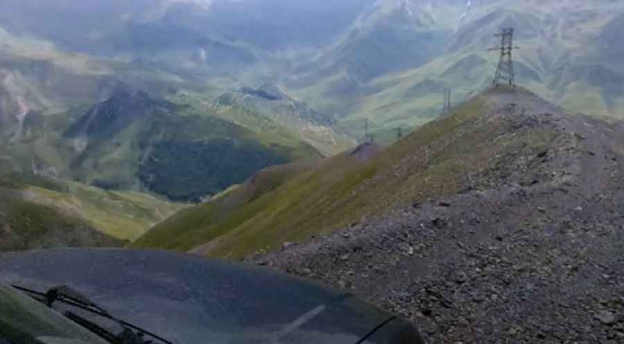
| Road facts: Pereval Kurtatinskiy | |
|---|---|
| Location | Abaytikau, Alagirsky District, North Ossetia–Alania (Russia) |
| Elevation | 3,297 m (10,816 ft) |
| Length | 5.4 km (3.35 miles) from Abaytikau |
| Average Gradient | 19.60% |
| Max Gradient | 29.80% |
| Surface | Unpaved (Shale, loose rock, dirt, and red clay) |
| Vehicle Required | High-clearance 4x4 with low range |
Where is the road to Pereval Kurtatinskiy located?
The climb starts near the village of Abaytikau in the Alagirsky District. The 5.4-kilometer track ascends steeply through the Reka Zakka Valley to reach the 3,297-meter summit pass in the Caucasus range.
How steep is the track to Pereval Kurtatinskiy?
The 5.4-kilometer route maintains a 19.60% average gradient, with extreme ramps reaching 29.80%. The unpaved surface consists of loose shale, sharp stones, and clay, requiring low-range 4x4 engagement to prevent engine stalling and maintain wheel traction on steep inclines.
What hazards exist on Pereval Kurtatinskiy?
Sharp shale stones pose tire sidewall cut risks, while rain converts the clay sections into slick mud. The narrow single-lane path features soft edges and lacks safety barriers along valley drops. Descending 29% gradients requires first-gear engine braking to avoid brake fluid boiling.
Is the road to Pereval Kurtatinskiy open in winter?
No. At an elevation of 3,297 meters, heavy snow blocks the high-altitude track throughout autumn, winter, and spring, leaving the pass impassable until late June or July.
Road suggested by: jorge manuel gómez sánchez
Pic&video: romzes-net