A journey on the legendary Lena Highway
A360 Lena Highway is an unforgettable journey in the heart of the Sakha Republic (Yakutia) in Russia. Known for its remoteness and extreme conditions, it's one of the most challenging and isolated roads in the country.
When was the Lena Highway built?
Located south of the Arctic Circle, the highway was built between 1925 and 1964, and takes its name from the Lena River. It was formerly known as M56.
Is the Lena Highway paved?
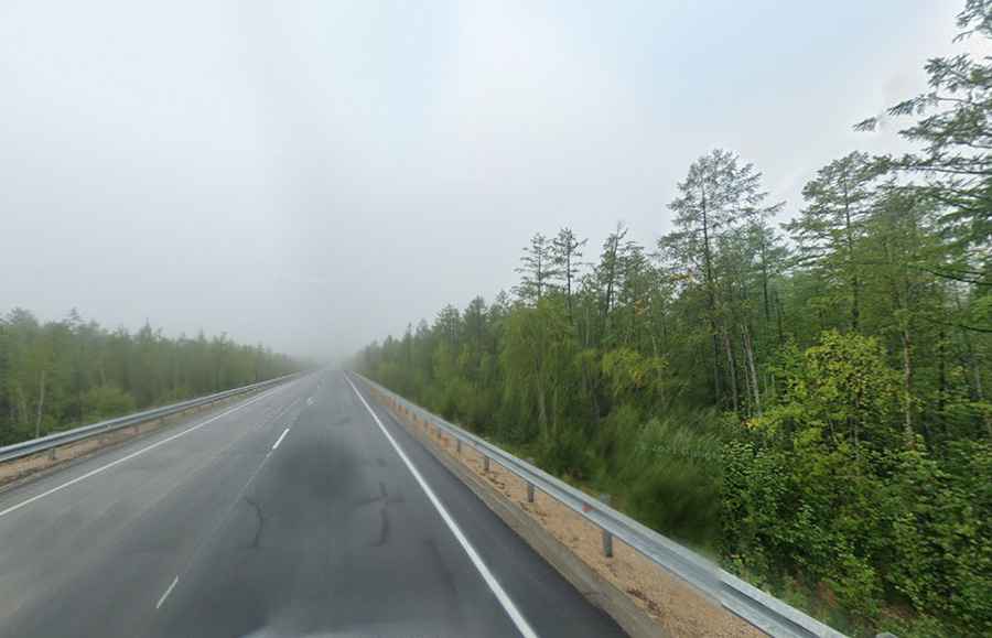
The A360 Lena Highway (also known as the Amur-Yakutsk Highway) is mostly paved now. Until 2014, the road was largely impassable after rain and was infamous for the extreme amounts of mud. In the summer, with any kind of significant rain, the road transformed into impassable mud that often swallowed whole smaller vehicles. After being paved in 2014, the road is now accessible all throughout the year. However, due to its remote location and subarctic climate, conditions can still be harsh and unpredictable, especially during winter. A few stretches of the road are still unpaved.
How long is the Lena Highway?
The road is 1,132 km (703 miles) long, running south-north from Never (in Neversky Selsoviet of Skovorodinsky District, Amur Oblast) to Yakutsk, a Russian port city on the Lena River, capital of the Sakha Republic. Yakutsk is also the largest city built on continuous permafrost. Most houses are built on concrete piles because of the frozen ground. The last part of the road, from Nizhny Bestyakh to the port city of Yakutsk, on the west side of the Lena River, is via the Lena River Ice Road in winter. During summer, a ferry operates, but in spring and autumn the river becomes unpassable, as ice is too thin to drive on and too thick for boats — a period known as the "season of isolation."
Road suggested by: Derncho74 // Lankyyy Gaming