Road to Șaua Grădișteanu: Driving the 1,954m Unpaved Pass in Argeș
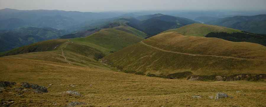
Located in Argeș County, within the Southern Carpathians of Romania, Șaua Grădișteanu is a high mountain pass reaching an elevation of 1,954m (6,410ft) above sea level. Situated in the Iezer-Păpușa Mountains, the route is officially one of the highest roads in the country accessible by motorized vehicles.
| Road facts: Șaua Grădișteanu | |
|---|---|
| Location | Argeș County, Romania |
| Elevation Gain | 1,395 m |
| Length | 21.9 km (13.6 miles) |
| Average Gradient | 6.36% |
| Surface | Unpaved / Rock and Earth |
How is the road to Șaua Grădișteanu?
The ascent to Șaua Grădișteanu starts from Rucăr. The road is 21.9 km (13.6 miles) long and remains entirely unpaved. The track follows a massive elevation gain of 1,395 meters, resulting in a sustained average gradient of 6.36%. The surface consists of a primitive mountain track with loose limestone rocks and segments of compacted earth. The final section near the pass features 9 sharp hairpin turns designed to navigate the steep alpine relief. Due to the lack of modern infrastructure, a 4WD vehicle with low-range gearing and high ground clearance is mandatory for the entire duration of the climb.
What are the driving hazards at Șaua Grădișteanu?
The primary hazards on the road to Șaua Grădișteanu include severe erosion ruts and high-altitude exposure. The 21.9 km track lacks safety barriers, and the outer edges are subject to vertical drops. During the spring snowmelt or after heavy rain, the track can become a mud slurry, significantly reducing tire traction on the 6.36% average slope. The 9 switchbacks are particularly technical, as the narrow radius requires precise steering maneuvers. Drivers must also be alert for free-roaming livestock and shepherd dogs, which are frequent in this sector of the Argeș mountains.
Is the road to Șaua Grădișteanu open year-round?
Due to its 1,954m summit altitude, the road is closed during the winter months and often remains impassable until late June. Snow accumulation in the Southern Carpathians is heavy, and the track is not cleared by local authorities. Even in summer, rapid weather changes can bring heavy fog and freezing temperatures to the pass in a matter of minutes. It is necessary to verify vehicle cooling and braking systems before leaving Rucăr, as the sustained climb puts significant thermal stress on the engine, while the 1,395m descent requires constant engine braking to prevent brake fade.
What is the driving strategy for the Șaua Grădișteanu track?
Navigating this 21.9 km mountain route requires a vehicle in optimal mechanical condition. High-traction tires (All-Terrain or Mud-Terrain) are recommended to manage the loose rock sections on the upper 9 hairpins. Low-range gearing should be engaged on the steeper ramps to maintain constant torque. Since there are no refueling points or emergency services along the route, drivers must carry sufficient fuel and recovery gear. It is also advised to use the horn on blind corners to warn oncoming service vehicles or forestry trucks operating in the lower forested sections of the climb.
Pic: Alexandru Gabriel Tudor