How to drive the unpaved road to Florea?
Florea is a high mountain peak at an elevation of 1.931m (6,335ft) above sea level, located in Argeș County, Romania. It’s one of the highest roads of the country.
Where is Florea?
The peak is located south of Sibiu, in the central part of Romania. The summit hosts a communication tower.
Is the road to Florea unpaved?
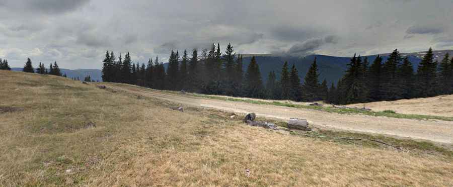
The road to the summit is totally unpaved in pretty bad condition. The road has broken parts, narrow sections and very steep parts.
How long is the road to Florea?
Starting from Arefu, the road to the summit is 32 km long. Over this distance, the elevation gain is 1613 m and the average gradient is 5.00%. A 4x4 vehicle is required.
Is the road to Florea open in winter?
The summit receives heavy snowfalls in winters and the road is usually impassable from November through May.
Pic: Cosmin Serban