Driving the wild unpaved road to Vladeasa Peak in Cluj County
Varful Vlădeasa is a high mountain peak at an elevation of 1,828 m (6,000 ft) above sea level, located in Cluj County, Romania. It’s one of the highest roads in the country.
Where is Vladeasa Peak?
Tucked away in the northwestern part of the country, within the Apuseni Natural Park, the summit is formed by two peaks, Vlădeasa and Vlădeasa Sud, located a short distance from each other and at approximately the same altitude. It’s the second highest peak in the Apuseni Mountains. Vlădeasa Peak is a popular destination for hikers and nature lovers.
What’s at the summit of Vladeasa Peak?
At the summit, there’s a meteorological station known as Stația Meteorologică Vlădeasa 1800. The top provides great views of the nearby peaks. It offers wide views of Stanea with Buteasa peak, Padiș and Bihor, Muntele Mare, and even the Huedin depression; on December days, when the clouds are low and the air above them is clean, the ridges of the Retezat Mountains can be seen.
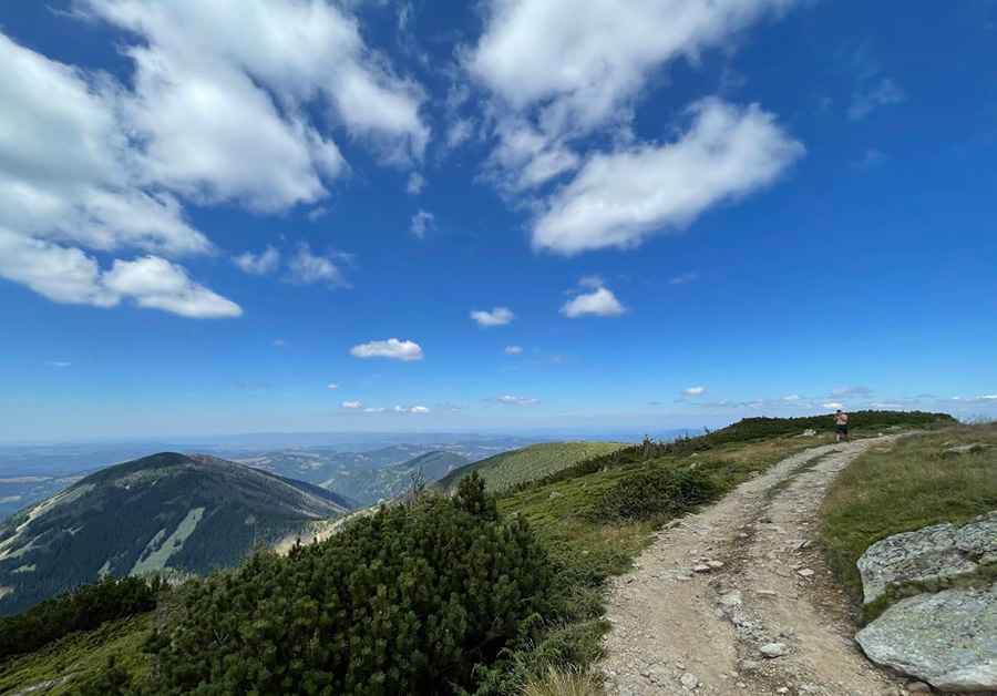
How long is the road to Vladeasa Peak?
The road to the summit is totally unpaved and not easy, with rocks, curves, narrow parts, and steep sections. Starting from Rogojel, the road to the summit is 7.2 km (4.47 miles) long. Over this distance, the elevation gain is 814 m and the average gradient is 11.30%. From Rogojel, continue on the unpaved road to Cabana Vlădeasa. The last few hundred meters can be difficult for low-clearance cars, so a 4x4 vehicle is recommended.
Is the road to Vladeasa Peak challenging in winter?
Set high in the Vlădeasa Massif, the mountain group of the Apuseni Mountains in the Western Carpathians mountain range, the road is usually impassable in winter due to snowfalls. It’s a cold place in all seasons. In winter, though, with the wind factor, temperatures can get bone-chilling, and the landscape becomes out of this world.
Pic: Stefan Suciu