A Driving Guide to Huta Pass in the Eastern Carpathians
Pasul Huta is a mountain pass at an elevation of 581m (1,906ft) above sea level, located in northwestern Romania, near the Ukrainian border.
Where is Huta Pass?
The pass, also known as Cireș Pass, Fărgău Pass or Sâmbra Oilor, is located on the boundary between Maramureș and Satu Mare counties in the north of the Eastern Carpathians in the Oaș Mountains.
How long is Huta Pass?
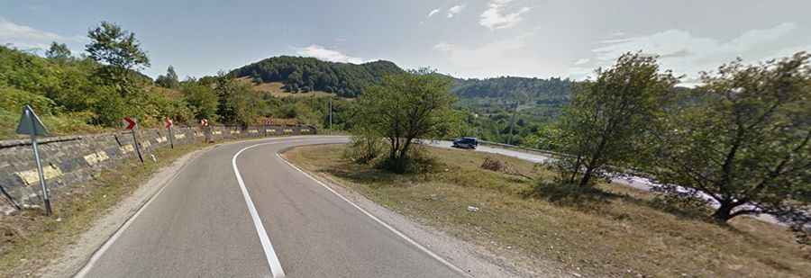
The curvy road to the summit is totally paved. It’s called DN19 (National road 19). The pass is 18.9 km (11.74 miles) long running north-south from Teceu Mic to Huta-Certeze.