How to drive the steep 20% ramps of Munții Ciucului?
Munții Ciucului (Ciuc Mountains) is a high mountain peak at an elevation of 1,361 meters (4,465 ft) above sea level in Harghita County, Transylvania, Romania. Situated within the Eastern Carpathians, the summit is reached via a 24.3-kilometer unpaved mountain track starting from the paved Pasul Ghimeș.
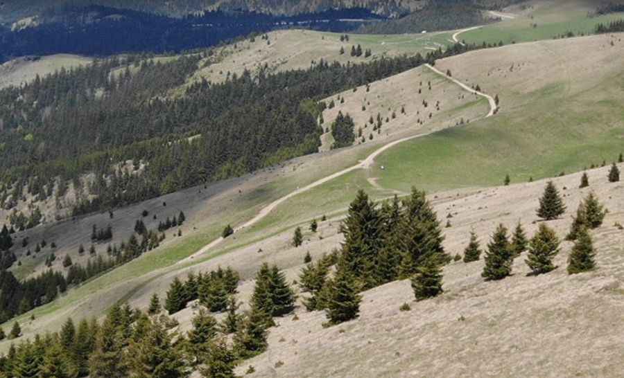
| Road facts: Munții Ciucului | |
|---|---|
| Location | Pasul Ghimeș, Harghita County, Transylvania (Romania) |
| Elevation | 1,361 m (4,465 ft) |
| Length | 24.3 km (15.09 miles) from Pasul Ghimeș |
| Max Gradient | 20% |
| Surface | Unpaved (Gravel, forest soil, and mud) |
| Vehicle Required | High-clearance 4x4 with low range |
Where is the road to Munții Ciucului located?
The track begins at Pasul Ghimeș in eastern Harghita County. The 24.3-kilometer unpaved route winds through the Eastern Carpathians to reach the 1,361-meter summit ridge.
How steep is the road to Munții Ciucului?
The 24.3-kilometer route features steep sections with maximum gradients reaching 20%. The unpaved surface consists of loose Carpathian gravel and forest soil, requiring a low-range 4x4 to maintain momentum and prevent wheel spin on steep inclines.
What hazards exist on the track through Munții Ciucului?
The narrow single-lane path cuts along steep shelf-road slopes with few passing turnouts. Rain turns the forest soil into deep, slick mud, while sharp rocks embedded in ruts pose tire puncture risks. The isolated track lacks roadside safety barriers and mobile coverage.
Is the road to Munții Ciucului open in winter?
No. Deep snow, unplowed snowdrifts, and heavy spring mud render the 24.3-kilometer unpaved track impassable from late autumn through early spring.
Pic: Tudor Vultureanu