Road trip guide: Conquering Tvarožník
Tvarožník is a high mountain peak at an elevation of 1.486m (4,875ft) above sea level, located on the Polish-Czech border.
Where is Tvarožník?
The summit is located on the border between Semily District (Liberec Region, Czech Republic) and Karkonosze County (Lower Silesian Voivodeship, Poland). At the summit there’s a radio television mast.
Is the road to Tvarožník unpaved?
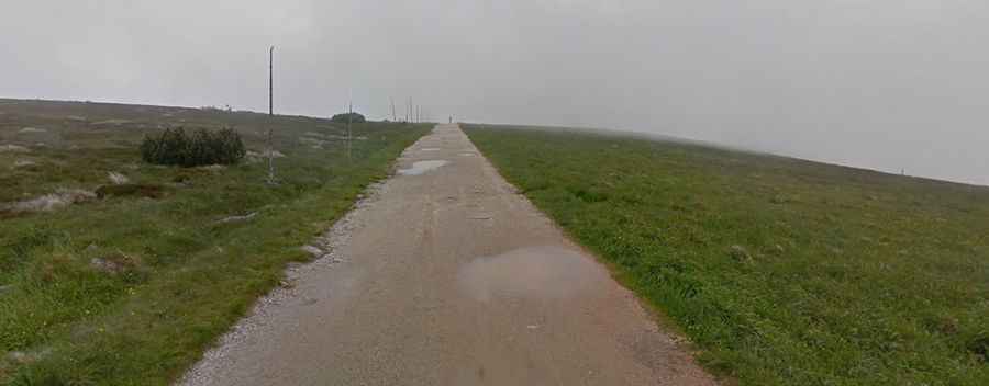
The road to the summit is totally unpaved, with potholes. It’s called Polish–Czech Friendship Trail (Cesta česko-polského přátelství / Droga Przyjaźni Polsko-Czeskiej). A 4x4 vehicle is required.
Can I drive to Tvarožník?
This is not a conventional motor-traffic road, but rather a mountain service track and hiking path within a highly protected environmental zone (Krkonoše National Park / Karkonoski Park Narodowy) where motorized traffic is strictly prohibited, except for national park service and emergency vehicles.
Is the road to Tvarožník dangerous in winters?
Set high in the Sudetes mountain range, the summit is shrouded in fog or cloud for more than half of the year. The track is totally impassable in winters. Snow covers the ground until at least April.