How to get by car to Szrenica on the Polish-Czech border
Szrenica is an international mountain peak at an elevation of 1,347m (4,419ft) above sea level, located on the Polish-Czech border within the Karkonosze Mountains. Tucked away in the Karkonosze National Park, the area is known for its rugged terrain and scenic vistas.
Where is Szrenica?
The peak links Jelenia Góra County in Poland with the Liberec Region in the Czech Republic, in the western part of the Giant Mountains. The summit sits along the main ridge of the Karkonosze and is a popular destination for hikers and nature enthusiasts.
Is the road to Szrenica unpaved?
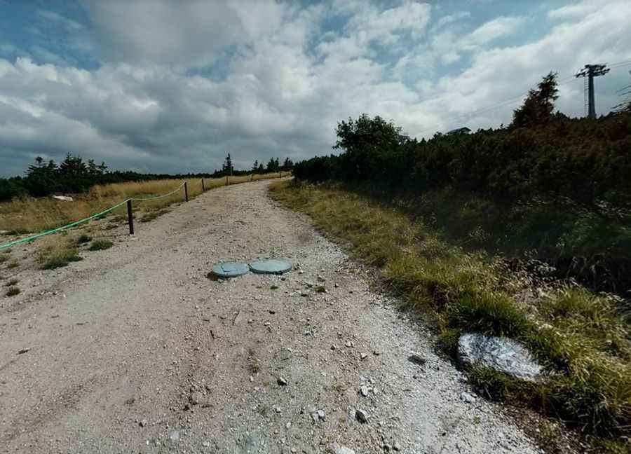
Yes, the road to the summit is totally unpaved. It’s a service route primarily used for maintenance and access to the private mountain hut on the peak. The road is closed to private vehicles and a 4x4 vehicle is required to drive it.
How long and steep is the road to Szrenica?
The main access route runs from nearby trailheads and forest tracks within the park. Vehicle access is limited, so most visitors reach the summit via hiking trails or chairlift services from Szklarska Poręba rather than by a drivable road.
Is Szrenica open in winter?
Set high in the Giant Mountains, the area experiences significant snow cover for much of the year, and routes around Szrenica may become difficult or unsafe in winter months.
What’s at the summit of Szrenica?
At the top there is a private mountain hut that serves hikers on both the Polish and Czech sides of the border. Szrenica is also known for its rock formations — such as Trzy Świnki and Końskie Łby — and panoramic views over the surrounding peaks and valleys.
Is Szrenica worth the visit?
Szrenica is one of the most popular peaks in the Karkonosze Mountains, offering scenic vistas, well-marked hiking routes, and a chairlift option from Szklarska Poręba that makes the summit accessible to a wide range of visitors.
Pic: Tomasz Szular