Prevoj Tresnjevik is a classic road trip in Montenegro
Prevoj Trešnjevik is a high mountain pass at an elevation of 1,568m (5,144ft) above sea level, located in Montenegro.
Where is Prevoj Trešnjevik?
The pass is located on the boundary between Andrijevica and Kolašin municipalities, in the eastern part of the country.
Is Prevoj Trešnjevik in Montenegro paved?
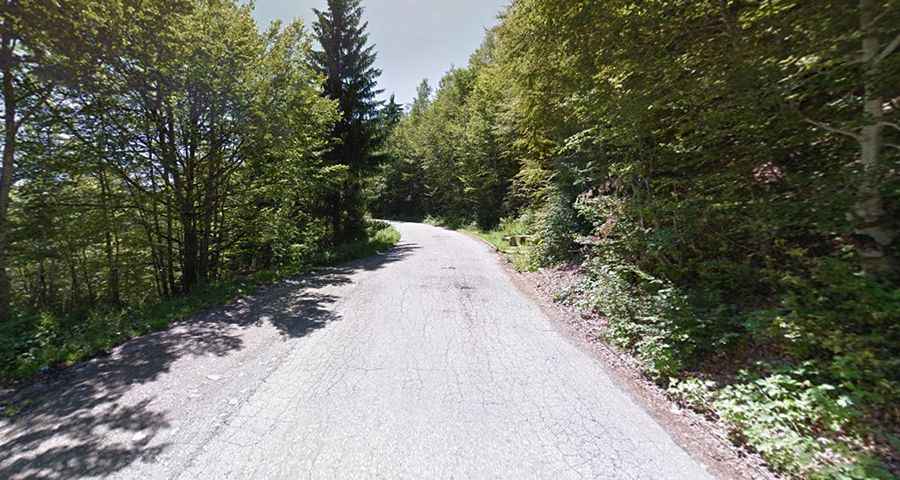
The road to the summit is paved but pretty narrow, with twists and hairpin turns along the way. It’s called M9. Surrounded by mountains, the road to the summit is very steep, hitting a 10% maximum gradient through some of the ramps.
How long is Prevoj Trešnjevik?
The pass is 34.7km (21.43 miles) long, running east-west from Andrijevica (a town and the seat of Andrijevica Municipality) to Mateševo (in the Kolašin Municipality). Plan 1 hour to complete the remarkable drive without stops.