How to drive the damaged military track to Shkarpa Peak?
Shkarpa Peak is a high mountain peak at an elevation of 2,460m (8,070ft) above sea level, located on the border between Kosovo and North Macedonia. It's one of the highest roads in the country.
| Road facts: Shkarpa Peak | |
|---|---|
| Location | Kosovo (Zaplluxhe) - North Macedonia Border |
| Elevation | 2,460m (8,070ft) |
| Length | 10 km (from Zaplluxhe) |
| Average Gradient | 11.56% |
| Max Gradient | 15% in eroded hairpins |
When was the road to Shkarpa Peak built?
The road to the summit is an unpaved military track constructed in 2001, which has received zero maintenance for over two decades. The track was originally built for KFOR military logistics, but current conditions have narrowed the motorable path significantly. The road is in a state of advanced decay and a 4x4 vehicle with high ground clearance and specialized off-road tires is required.
What’s at Shkarpa Peak?
The summit contains the remnants of an abandoned concrete structure.
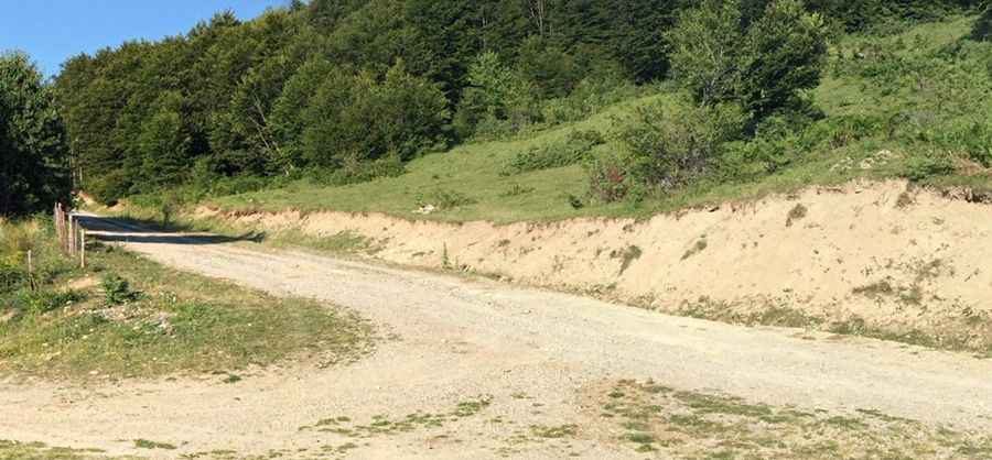
Is the road to Shkarpa Peak unpaved?
The road is totally unpaved, composed of large loose rocks and deep rain-washed gullies. It comprises a few hairpin turns.
How long is the road to Shkarpa Peak?
Starting from Zaplluxhe, the road to the summit is 10 km long. Over this distance, the elevation gain is 1156 m and the average gradient is 11.56%.
Is the road to Shkarpa Peak open year-round?
Set high in the Shar Mountains (Šar Planina), the area is subject to severe alpine weather. Sudden thunderstorms can turn the eroded track into a high-risk drainage channel. Visibility often drops to near zero at the summit ridge.
Pic: Uran Halimi